Vom Derdinger Horn zum Sandbauernweg
A cycling route starting in Oberderdingen, Baden-Wurttemberg, Germany.
Overview
About this route
Since the 1st century AD, stone quarrying has been practiced in Stromberg. In about 35 mills, residual stones were ground into cleaning sand. In the mid-19th century, they delivered 3 million liters of cleaning sand to Stuttgart annually. Through the idyllic valley of the young Kraich, it goes past Kraichsee towards Derdinger Horn. In Sternenfels, the products of a herbal witch help with sore feet and tired limbs.
- -:--
- Duration
- 13.7 km
- Distance
- 333 m
- Ascent
- 333 m
- Descent
- ---
- Avg. speed
- ---
- Max. altitude
Route highlights
Points of interest along the route
Point of interest after 3.3 km
Kraichsee
Point of interest after 5 km
Aussichtspunkt
Point of interest after 5.3 km
Gaststätte Löwen
Point of interest after 5.5 km
Schlossbergturm
Point of interest after 5.9 km
Sportplatz
Point of interest after 12.1 km
Bernhardsweiher
Point of interest after 13.7 km
Derdinger Horn
Continue with Bikemap
Use, edit, or download this cycling route
You would like to ride Vom Derdinger Horn zum Sandbauernweg or customize it for your own trip? Here is what you can do with this Bikemap route:
Free features
- Save this route as favorite or in collections
- Copy & plan your own version of this route
- Sync your route with Garmin or Wahoo
Premium features
Free trial for 3 days, or one-time payment. More about Bikemap Premium.
- Navigate this route on iOS & Android
- Export a GPX / KML file of this route
- Create your custom printout (try it for free)
- Download this route for offline navigation
Discover more Premium features.
Get Bikemap PremiumFrom our community
Other popular routes starting in Oberderdingen
 OD- Gochsheim-Menzingen-Gochsheim-Oberderdingen
- Distance
- 26.1 km
- Ascent
- 179 m
- Descent
- 179 m
- Location
- Oberderdingen, Baden-Wurttemberg, Germany
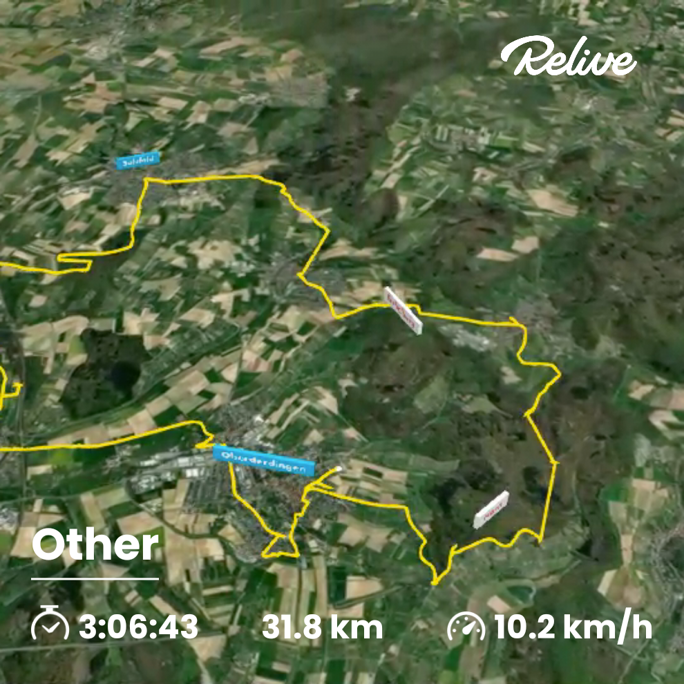
 Oberderdingen, Sternenfels, Kürnbach, Sulzfeld, Zaisenhausen, Oberderdingen
- Distance
- 31.9 km
- Ascent
- 757 m
- Descent
- 759 m
- Location
- Oberderdingen, Baden-Wurttemberg, Germany
 Rundtour Oberderdingen - Sternenfels
- Distance
- 24.2 km
- Ascent
- 376 m
- Descent
- 376 m
- Location
- Oberderdingen, Baden-Wurttemberg, Germany
 Ähren-Tour
- Distance
- 32 km
- Ascent
- 235 m
- Descent
- 236 m
- Location
- Oberderdingen, Baden-Wurttemberg, Germany
 OD-Münzesheim-OD
- Distance
- 22.2 km
- Ascent
- 113 m
- Descent
- 113 m
- Location
- Oberderdingen, Baden-Wurttemberg, Germany
 Vom Derdinger Horn zum Sandbauernweg
- Distance
- 13.7 km
- Ascent
- 333 m
- Descent
- 333 m
- Location
- Oberderdingen, Baden-Wurttemberg, Germany
 Besen-Tour
- Distance
- 36.1 km
- Ascent
- 445 m
- Descent
- 445 m
- Location
- Oberderdingen, Baden-Wurttemberg, Germany
 Badischer Weinradweg - Etappe 7: Kraichgau Nord - Badischer Weinradweg - Etappe 7: Kraichgau Nord
- Distance
- 65.5 km
- Ascent
- 809 m
- Descent
- 870 m
- Location
- Oberderdingen, Baden-Wurttemberg, Germany
Open it in the app

