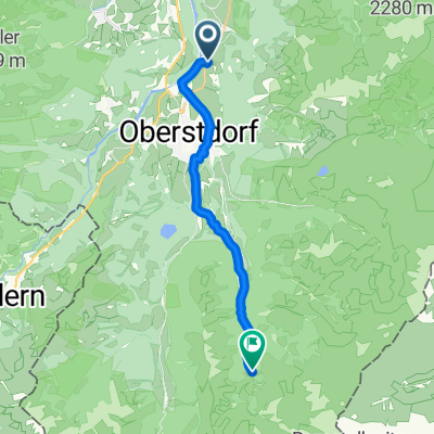
Kapellenweg nach Kornau
- 7.3 km
- 25 m
- 234 m
- Oberstdorf, Bavaria, Germany
A cycling route starting in Oberstdorf, Bavaria, Germany.
Overview
None (cloned from route 265758)
created this 10 years ago
Route highlights

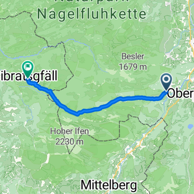
Iller bei Kempten
Continue with Bikemap
You would like to ride Iller-Radweg Teil 1: Oberstdorf - Kempten or customize it for your own trip? Here is what you can do with this Bikemap route:
Free trial for 3 days, or one-time payment. More about Bikemap Premium.
Discover more Premium features.
Get Bikemap PremiumFrom our community
Open it in the app