Casabalnca a Algarrobo - Camino a Las Dichas
- 22.3 km
- 345 m
- 210 m
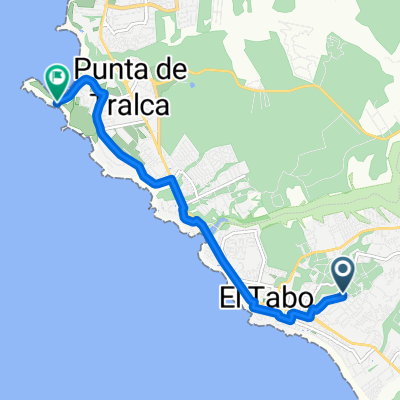
- El Tabo, Región de Valparaíso, Chile
A cycling route starting in El Tabo, Región de Valparaíso, Chile.
Overview
mixed route of low complexity
Continue with Bikemap
You would like to ride tunquen fundo pao pao or customize it for your own trip? Here is what you can do with this Bikemap route:
Free trial for 3 days, or one-time payment. More about Bikemap Premium.
Discover more Premium features.
Get Bikemap PremiumFrom our community
Open it in the app