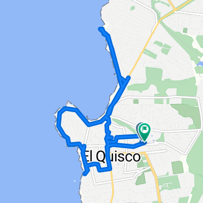
tunquen estero casa blanca
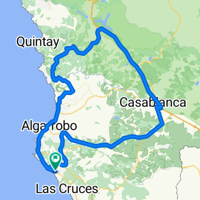
A cycling route starting in El Tabo, Regi贸n de Valpara铆so, Chile.
Overview
About this route
mediana difilcultad, camino y senderos de tierra
- -:--
- Duration
- 40.1 km
- Distance
- 616 m
- Ascent
- 624 m
- Descent
- ---
- Avg. speed
- ---
- Avg. speed
Route quality
Waytypes & surfaces along the route
Waytypes
Undefined
40.1 km
(100 %)
Surfaces
Undefined
40.1 km
(100 %)
Continue with Bikemap
Use, edit, or download this cycling route
You would like to ride tunquen estero casa blanca or customize it for your own trip? Here is what you can do with this Bikemap route:
Free features
- Save this route as favorite or in collections
- Copy & plan your own version of this route
- Sync your route with Garmin or Wahoo
Premium features
Free trial for 3 days, or one-time payment. More about Bikemap Premium.
- Navigate this route on iOS & Android
- Export a GPX / KML file of this route
- Create your custom printout (try it for free)
- Download this route for offline navigation
Discover more Premium features.
Get Bikemap PremiumFrom our community
Other popular routes starting in El Tabo
- De Bellavista 1385, San Antonio a Bellavista 1385, San Antonio
- Distance
- 8.5 km
- Ascent
- 126 m
- Descent
- 122 m
- Location
- El Tabo, Regi贸n de Valpara铆so, Chile
- Pedaleo santo, Las Cruces a Cartagena
- Distance
- 16 km
- Ascent
- 207 m
- Descent
- 212 m
- Location
- El Tabo, Regi贸n de Valpara铆so, Chile
- Isla Negra - Santiasko
- Distance
- 114.2 km
- Ascent
- 1,236 m
- Descent
- 743 m
- Location
- El Tabo, Regi贸n de Valpara铆so, Chile
- Algarrobo, ruta inversa
- Distance
- 9.4 km
- Ascent
- 137 m
- Descent
- 163 m
- Location
- El Tabo, Regi贸n de Valpara铆so, Chile
- De Jos茅 Narciso Aguirre 0308, El Quisco a Regidor Jorge Squella Avenda帽o 270, El Quisco
- Distance
- 16.1 km
- Ascent
- 134 m
- Descent
- 139 m
- Location
- El Tabo, Regi贸n de Valpara铆so, Chile
- Bosque Mar hasta Tunquen
- Distance
- 19.3 km
- Ascent
- 419 m
- Descent
- 342 m
- Location
- El Tabo, Regi贸n de Valpara铆so, Chile
- tunquen fundo pao pao
- Distance
- 30.1 km
- Ascent
- 468 m
- Descent
- 674 m
- Location
- El Tabo, Regi贸n de Valpara铆so, Chile
- Yeco-Tunquen-Mirasol
- Distance
- 22.7 km
- Ascent
- 426 m
- Descent
- 423 m
- Location
- El Tabo, Regi贸n de Valpara铆so, Chile