restt
- 455.9 km
- 6,196 m
- 6,836 m
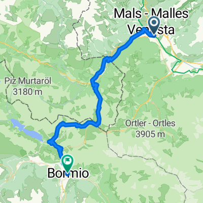
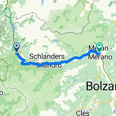
- Glurns, Trentino-Alto Adige, Italy
A cycling route starting in Glurns, Trentino-Alto Adige, Italy.
Overview
MALS or GLURNS from there we cycle along the ETSCH through the Vintschgau to MERAN (61 km). The Vintschgau is one of the most interesting regions of South Tyrol. With little precipitation, fertile soils, the Laaser marble, and the apple orchards leave a lasting impression on visitors. Right at the beginning, we visit GLURNS, today the smallest town in South Tyrol with about 850 inhabitants. The salt trade brought the town to its prosperity around 1300. The medieval townscape has been preserved. After GLURNS, the cycling route goes along the right side of the ETSCH to PRAD, through the small village of TSCHENGIS the path leads back to the ETSCH towards LAASS, continuing along the ETSCH to GÖFLAN - SCHLANDERS towards MERAN (cloned from route 2988208) (cloned from route 3062582)
created this 9 years ago
Route quality
Cycleway
29.2 km
(48 %)
Quiet road
11.5 km
(19 %)
Paved
55.3 km
(91 %)
Unpaved
4.3 km
(7 %)
Asphalt
55.3 km
(91 %)
Loose gravel
3 km
(5 %)
Continue with Bikemap
You would like to ride MALS-GLURNS- MERAN or customize it for your own trip? Here is what you can do with this Bikemap route:
Free trial for 3 days, or one-time payment. More about Bikemap Premium.
Discover more Premium features.
Get Bikemap PremiumFrom our community
Open it in the app