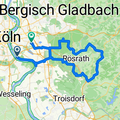
L92 nach Friedrich-Ebert-Straße
- 7.9 km
- 17 m
- 64 m
- Poll, North Rhine-Westphalia, Germany
A cycling route starting in Poll, North Rhine-Westphalia, Germany.
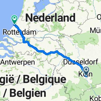
Overview
created this 9 years ago
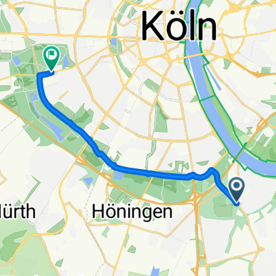
Route quality
Quiet road
17.7 km
(33 %)
Path
15.5 km
(29 %)
Paved
48.7 km
(91 %)
Unpaved
0.5 km
(1 %)
Asphalt
48.7 km
(91 %)
Loose gravel
0.5 km
(1 %)
Undefined
4.3 km
(8 %)
Continue with Bikemap
You would like to ride Flughafentour or customize it for your own trip? Here is what you can do with this Bikemap route:
Free trial for 3 days, or one-time payment. More about Bikemap Premium.
Discover more Premium features.
Get Bikemap PremiumFrom our community
Open it in the app