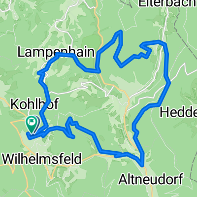
Teltschikturm-Tour
- 25.3 km
- 758 m
- 755 m
- Wilhelmsfeld, Baden-Wurttemberg, Germany
A cycling route starting in Wilhelmsfeld, Baden-Wurttemberg, Germany.
Overview
created this 10 years ago
Route quality
Track
14 km
66 %
Quiet road
3.6 km
17 %
Paved
8.7 km
(41 %)
Unpaved
12.1 km
(57 %)
Gravel
10 km
47 %
Asphalt
7.8 km
37 %
Continue with Bikemap
You would like to ride Wilhelmsfed-Lampenhain-Heiligkreuz und zurück or customize it for your own trip? Here is what you can do with this Bikemap route:
Free trial for 3 days, or one-time payment. More about Bikemap Premium.
Discover more Premium features.
Get Bikemap PremiumFrom our community
Open it in the app