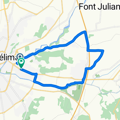
Tour de France 2016 - Stage 14
- 216 km
- 1,240 m
- 1,048 m
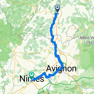
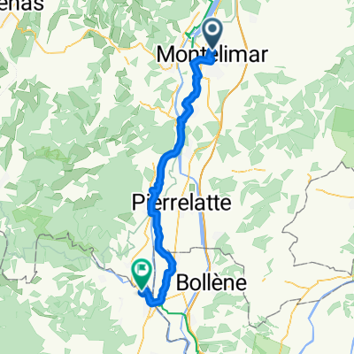
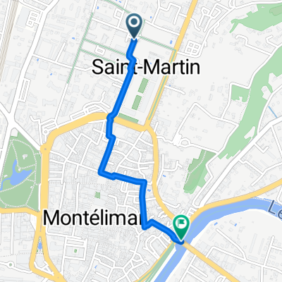
- Montélimar, Auvergne-Rhône-Alpes, France
A cycling route starting in Montélimar, Auvergne-Rhône-Alpes, France.
Overview
This was a relatively easy ride with gentle climbs, excellent low- and zero-traffick roads, and wonderful scenery. We highly recommend this route.
created this 9 years ago


Route quality
Road
49.2 km
(76 %)
Quiet road
3.9 km
(6 %)
Undefined
11.7 km
(18 %)
Paved
14.3 km
(22 %)
Asphalt
14.3 km
(22 %)
Undefined
50.5 km
(78 %)
Continue with Bikemap
You would like to ride 2016 Ride Day 97 - Montélimar Circle to East or customize it for your own trip? Here is what you can do with this Bikemap route:
Free trial for 3 days, or one-time payment. More about Bikemap Premium.
Discover more Premium features.
Get Bikemap PremiumFrom our community
Open it in the app