les Ollières- les Vastres
- 62.4 km
- 2,360 m
- 1,310 m
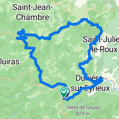
- Saint-Sauveur-de-Montagut, Auvergne-Rhône-Alpes, France
A cycling route starting in Saint-Sauveur-de-Montagut, Auvergne-Rhône-Alpes, France.
Overview
With the exception of riding through the Vals-les-Bains area, all roads were excellent and scenic low and zero-traffic roads. Highlu recommend this route.
Climbs went on a long time, but were not difficult.
created this 9 years ago


Route quality
Road
40.8 km
(59 %)
Quiet road
0.7 km
(1 %)
Paved
20.1 km
(29 %)
Asphalt
20.1 km
(29 %)
Undefined
49.2 km
(71 %)
Continue with Bikemap
You would like to ride 2016 Ride Day 108 - St-Sauveur-de-Montagut to Largentière or customize it for your own trip? Here is what you can do with this Bikemap route:
Free trial for 3 days, or one-time payment. More about Bikemap Premium.
Discover more Premium features.
Get Bikemap PremiumFrom our community
Open it in the app