Day 2
- 54.5 km
- ---
- ---
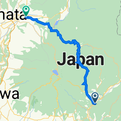
- Ōmamachō-ōmama, Gunma, Japan
A cycling route starting in Ōmamachō-ōmama, Gunma, Japan.
Overview
水沼駅が起点で、走った後は温泉で汗を流せます。河川敷?に下りると黒保根運動公園の駐車場があります。道は分かりやすいですが、アップダウンはなかなかのもの。
Start/Goal point is a Mizunuma sta. (Watarase Keikoku Railway). After running, you can take hot spring in the Mizunuma Onsen Center.There is also parking area at the riverside (Kurohone Sports Park).
created this 9 years ago
Route quality
Road
2.2 km
(22 %)
Quiet road
1.7 km
(17 %)
Paved
1.2 km
(12 %)
Paved (undefined)
1.2 km
(12 %)
Undefined
8.8 km
(88 %)
Continue with Bikemap
You would like to ride 10km Running Course or customize it for your own trip? Here is what you can do with this Bikemap route:
Free trial for 3 days, or one-time payment. More about Bikemap Premium.
Discover more Premium features.
Get Bikemap PremiumFrom our community
Open it in the app