20221029_赤城山1周ライド 110Km
- 111.7 km
- 2,989 m
- 2,991 m
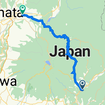
- Ōmamachō-ōmama, Gunma, Japan
A cycling route starting in Ōmamachō-ōmama, Gunma, Japan.
Overview
Available only at morning/evening time
You can get on and off wherever you like on this route.
created this 9 years ago
Route quality
Quiet road
3.6 km
(20 %)
Road
3.1 km
(17 %)
Paved
1.3 km
(7 %)
Paved (undefined)
1.3 km
(7 %)
Undefined
16.9 km
(93 %)
Continue with Bikemap
You would like to ride the fixed-route of "Fureai Taxi" or customize it for your own trip? Here is what you can do with this Bikemap route:
Free trial for 3 days, or one-time payment. More about Bikemap Premium.
Discover more Premium features.
Get Bikemap PremiumFrom our community
Open it in the app