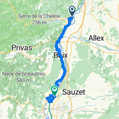
dernière ligne droite
- 17.4 km
- 349 m
- 38 m
- Beauchastel, Auvergne-Rhône-Alpes, France
A cycling route starting in Beauchastel, Auvergne-Rhône-Alpes, France.
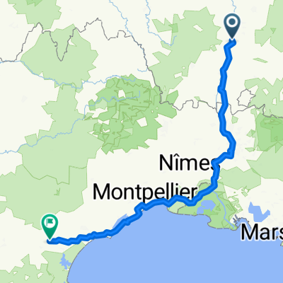
Overview
created this 9 years ago
Route quality
Path
21 km
(46 %)
Cycleway
10.9 km
(24 %)
Paved
37.8 km
(83 %)
Unpaved
1.8 km
(4 %)
Asphalt
37.4 km
(82 %)
Loose gravel
1.8 km
(4 %)
Continue with Bikemap
You would like to ride 2o16-10-30 voie douce de Privas Chomérac or customize it for your own trip? Here is what you can do with this Bikemap route:
Free trial for 3 days, or one-time payment. More about Bikemap Premium.
Discover more Premium features.
Get Bikemap PremiumFrom our community
Open it in the app