Vom Zenn- über den Aurachgrund nach Hüttendorf
Vom Zenn- über den Aurachgrund nach Hüttendorf
A cycling route starting in Fürth, Bavaria, Germany.
Overview
About this route
The starting point is the water wheel in Stadeln on the Regnitz cycle path. Then follow the cycle path along Stadelner Straße via Vacher Straße. If the visibility is good, a detour to Solarberg is worthwhile. It is best to stay on the cycle path under the canal bridge until the bus stop and only cross the road there. Carefully take the path down to the Zenn bridge. Continue through Flexdorf along the scarcely trafficked road to Rirzmannsdorf. There, the Zenntal cycle path branches off onto a freshly prepared gravel path into the beautiful Zenn valley. From Kreppendorf, one rides again on an asphalted cycle path to Veitsbronn (possibility to stop). From there, the cycle path runs steeply uphill parallel to the road towards Tuchenbach. From the junction to Burgstall, it then descends again on the little-trafficked road to Hauptendorf, where we turn onto the Aurach cycle path. This leads us mainly on asphalted routes past Kriegenbrunn to Frauenaurach. Here we pass directly by the old monastery church, which originated from a nunnery from the 13th century. A small local museum with old service buildings stands on the other side of the street. Those who do not want to wait until the end of the tour can already stop in Frauenaurach. Then follow the signpost 'Eltersdorf' along the canal to the Kriegenbrunn lock. On the west side of the canal, we continue until the junction to Hüttendorf. There, two well-known country inns invite you to rest.
- -:--
- Duration
- 25.6 km
- Distance
- 178 m
- Ascent
- 144 m
- Descent
- ---
- Avg. speed
- ---
- Max. altitude
Part of
Vom Zenn- über den Aurachgrund nach Hüttendorf
1 stage
Route quality
Waytypes & surfaces along the route
Waytypes
Quiet road
9.2 km
(36 %)
Track
8.9 km
(35 %)
Surfaces
Paved
16.9 km
(66 %)
Unpaved
4.3 km
(17 %)
Asphalt
16.1 km
(63 %)
Gravel
3.8 km
(15 %)
Continue with Bikemap
Use, edit, or download this cycling route
You would like to ride Vom Zenn- über den Aurachgrund nach Hüttendorf or customize it for your own trip? Here is what you can do with this Bikemap route:
Free features
- Save this route as favorite or in collections
- Copy & plan your own version of this route
- Sync your route with Garmin or Wahoo
Premium features
Free trial for 3 days, or one-time payment. More about Bikemap Premium.
- Navigate this route on iOS & Android
- Export a GPX / KML file of this route
- Create your custom printout (try it for free)
- Download this route for offline navigation
Discover more Premium features.
Get Bikemap PremiumFrom our community
Other popular routes starting in Fürth
 Bremer Straße, Fürth nach Bremer Straße, Fürth
- Distance
- 67.2 km
- Ascent
- 584 m
- Descent
- 585 m
- Location
- Fürth, Bavaria, Germany
 Teichtour ab Fürth
- Distance
- 85 km
- Ascent
- 394 m
- Descent
- 435 m
- Location
- Fürth, Bavaria, Germany
 nach Nelken
- Distance
- 7.8 km
- Ascent
- 67 m
- Descent
- 51 m
- Location
- Fürth, Bavaria, Germany
 Zu stay 2
- Distance
- 11.4 km
- Ascent
- 81 m
- Descent
- 60 m
- Location
- Fürth, Bavaria, Germany
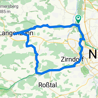 Stadeln Cadolzburg Runweg
- Distance
- 49.8 km
- Ascent
- 307 m
- Descent
- 309 m
- Location
- Fürth, Bavaria, Germany
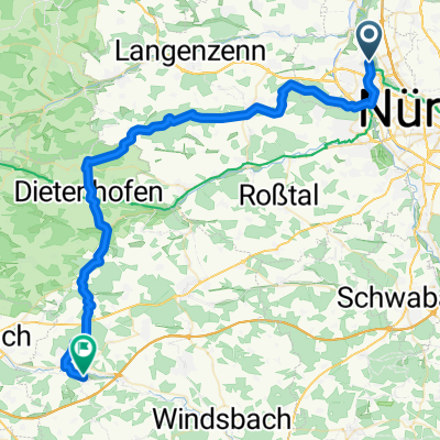 Von Fürth bis Lichtenau 51 Km
- Distance
- 52.4 km
- Ascent
- 690 m
- Descent
- 594 m
- Location
- Fürth, Bavaria, Germany
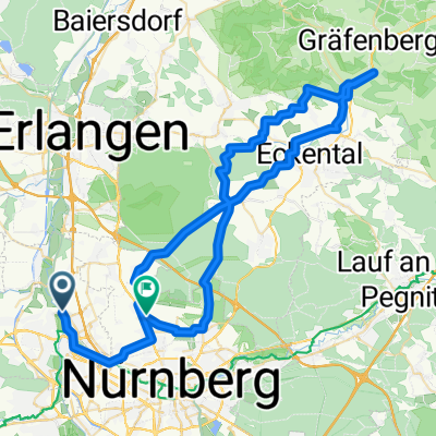 Klosterbrauerei Weißenohe
- Distance
- 67.2 km
- Ascent
- 526 m
- Descent
- 506 m
- Location
- Fürth, Bavaria, Germany
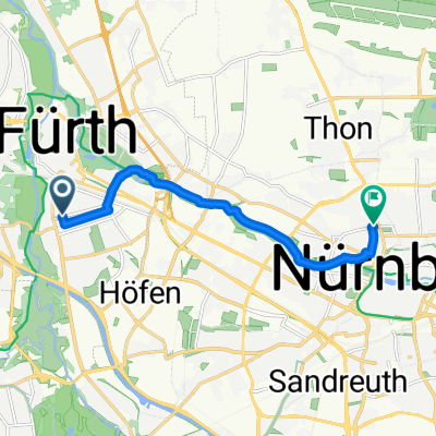 St2242 nach Friedrich-Ebert-Platz
- Distance
- 8.4 km
- Ascent
- 60 m
- Descent
- 39 m
- Location
- Fürth, Bavaria, Germany
Open it in the app

