MS 09, Sampeyre - Vinadio - MS 09, Sampeyre - Vinadio
- 112.9 km
- 6,819 m
- 6,872 m
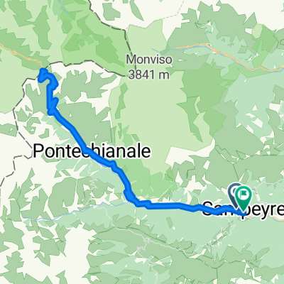
- Sampeyre, Piedmont, Italy
A cycling route starting in Sampeyre, Piedmont, Italy.
Overview
Sampeyre - Colle dell'Agnello - Chateau Queyras - Izoard - Briancon - Col de Lautaret - Alpe d'Huez - Col de la Croix de Fer - Saint Jean de Maurienne - Col du Telegraph - Valloire - Col du Galibier - Riancon - Moncenisio - Sestriere
created this 8 years ago
Continue with Bikemap
You would like to ride Alpi 2017 - Tappa 3 or customize it for your own trip? Here is what you can do with this Bikemap route:
Free trial for 3 days, or one-time payment. More about Bikemap Premium.
Discover more Premium features.
Get Bikemap PremiumFrom our community
Open it in the app