Brewery Tour
- 46.2 km
- 128 m
- 130 m
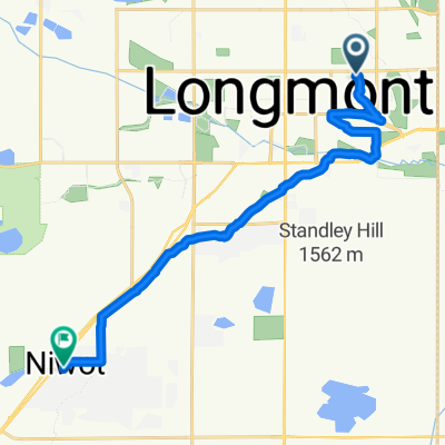
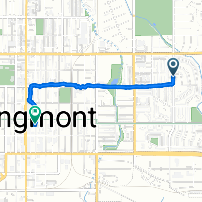
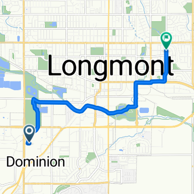
- Longmont, Colorado, United States
A cycling route starting in Longmont, Colorado, United States.
Overview
Excellent roads with most having excellent shoulder. Only light traffic after Lyons. Beautiful scenery; we highly recommend it.
We'd intended a circle along Route 72 through Ward and then back toward US 36 and Longmont along Lefthand Canyon Dr. However, a morning rain caused a late start in the afternoon and we stopped short, retracing our steps back to Longmont.
created this 8 years ago
Route quality
Quiet road
9.1 km
15 %
Cycleway
4.3 km
7 %
Paved
49.2 km
(81 %)
Unpaved
2.4 km
(4 %)
Asphalt
46.8 km
77 %
Paved (undefined)
2.4 km
4 %
Continue with Bikemap
You would like to ride St Vrain West of Longmont CO or customize it for your own trip? Here is what you can do with this Bikemap route:
Free trial for 3 days, or one-time payment. More about Bikemap Premium.
Discover more Premium features.
Get Bikemap PremiumFrom our community
Open it in the app