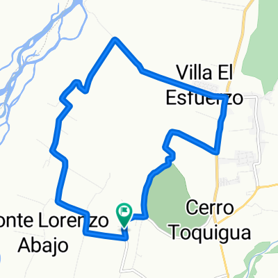
Cerro Toquihua Monte Lorenzo
- 11.7 km
- 154 m
- 152 m
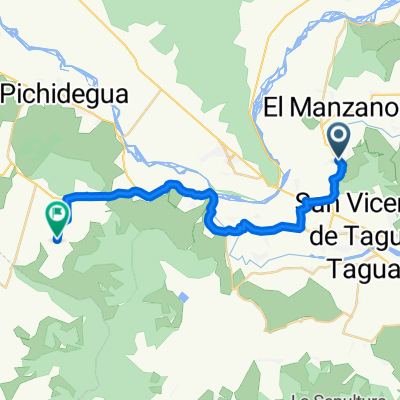
- San Vicente, O'Higgins Region, Chile
A cycling route starting in San Vicente, O'Higgins Region, Chile.
Overview
created this 8 years ago

Route quality
Quiet road
2.9 km
(12 %)
Road
2.4 km
(10 %)
Paved
20.1 km
(84 %)
Paved (undefined)
18.9 km
(79 %)
Asphalt
1.2 km
(5 %)
Undefined
3.8 km
(16 %)
Continue with Bikemap
You would like to ride sn vicente hasta laguna sn vicente.. or customize it for your own trip? Here is what you can do with this Bikemap route:
Free trial for 3 days, or one-time payment. More about Bikemap Premium.
Discover more Premium features.
Get Bikemap PremiumFrom our community
Open it in the app