

Buda loop - 37 mi
A cycling route starting in Rollingwood, Texas, United States.
Overview
About this route
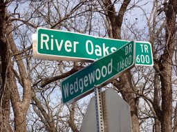
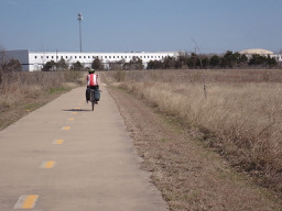
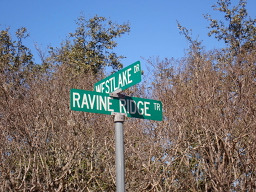
Loop that goes out out to downtown buda
- -:--
- Duration
- 60.2 km
- Distance
- 212 m
- Ascent
- 213 m
- Descent
- ---
- Avg. speed
- ---
- Max. altitude
Route quality
Waytypes & surfaces along the route
Waytypes
Road
31.9 km
(53 %)
Quiet road
8.4 km
(14 %)
Surfaces
Paved
30.1 km
(50 %)
Asphalt
28.9 km
(48 %)
Concrete
1.2 km
(2 %)
Undefined
30.1 km
(50 %)
Continue with Bikemap
Use, edit, or download this cycling route
You would like to ride Buda loop - 37 mi or customize it for your own trip? Here is what you can do with this Bikemap route:
Free features
- Save this route as favorite or in collections
- Copy & plan your own version of this route
- Sync your route with Garmin or Wahoo
Premium features
Free trial for 3 days, or one-time payment. More about Bikemap Premium.
- Navigate this route on iOS & Android
- Export a GPX / KML file of this route
- Create your custom printout (try it for free)
- Download this route for offline navigation
Discover more Premium features.
Get Bikemap PremiumFrom our community
Other popular routes starting in Rollingwood
 Austin - Circle to Bee Cave
- Distance
- 44.6 km
- Ascent
- 562 m
- Descent
- 564 m
- Location
- Rollingwood, Texas, United States
 Buda loop - 37 mi
- Distance
- 60.2 km
- Ascent
- 212 m
- Descent
- 213 m
- Location
- Rollingwood, Texas, United States
 Austin - Circle to MT Supermarket and Walnut Creek
- Distance
- 49.2 km
- Ascent
- 414 m
- Descent
- 413 m
- Location
- Rollingwood, Texas, United States
 Austin - Circle Southeast to Richard Moya Park
- Distance
- 47.2 km
- Ascent
- 288 m
- Descent
- 288 m
- Location
- Rollingwood, Texas, United States
 Austin to Giddings
- Distance
- 113.7 km
- Ascent
- 492 m
- Descent
- 529 m
- Location
- Rollingwood, Texas, United States
 Austin - Circle thru Lost Creek Blvd to Barton Creek and Costco
- Distance
- 41.4 km
- Ascent
- 572 m
- Descent
- 572 m
- Location
- Rollingwood, Texas, United States
 Austin - Circle to Steiner Ranch
- Distance
- 56.1 km
- Ascent
- 757 m
- Descent
- 758 m
- Location
- Rollingwood, Texas, United States
 Austin - Random Riding in Neighborhood North of MUNY Golf Course
- Distance
- 18.7 km
- Ascent
- 290 m
- Descent
- 290 m
- Location
- Rollingwood, Texas, United States
Open it in the app