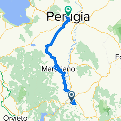
3^ tappa TODI - ORVIETO
- 39.4 km
- 332 m
- 537 m
- Todi, Umbria, Italy
A cycling route starting in Todi, Umbria, Italy.
Overview
In the first part, the route follows the Tiber river course upstream on a mountain bike, using secondary and dirt roads, up to Umbertide.
From Todi, you descend to Pontecuti and join the dirt road that runs alongside the Teve. The route, alternating between dirt and asphalt, reaches Pian di San Martino, the outskirts of Fratta Todina, Marsciano, Deruta, Torgiano, Ponte San Giovanni, Ponte Valleceppi, Ponte Felcino, Villa Pitignano, the Ponte Pattoli junction, the Pierantonio junction, and finally arrives at Umbertide.
Now begins the second part of the route that will take us all the way to the sea, crossing the Monte Cucco Park and the Gola della Rossa and Frasassi Park.
From Umbertide, you climb to Gubbio and then to Scheggia. This is the most challenging section of the route with about an 8 km climb before reaching Gubbio and another about 4 km climb before reaching Scheggia. Then there will be the Gola di Frasassi ascent.
From Umbertide, you reach Molino di Camporeggiano, then turn right onto SP 203, which continues on Via dell'Assno, then turn right onto SP 206 to cross the ridge at 712 m and then descend for 10 km down to Gubbio. Now you climb about 4 km up to 761 m, then descend about 7 km down to Scheggia.
Now the road descends towards the Adriatic Sea. You cross Monte Cucco Park passing through Isola Fossara, then Sassoferrato and Pianello to enter the Gola della Rossa and Frasassi Park. We cross the Gola di Frasassi, overcoming a small climb, then Jesi, the Chiaravalle Abbey, to finish at Falconara.
created this 7 years ago
Continue with Bikemap
You would like to ride Todi-Ponte S.Giovanni-Umbertide-Gubbio-Gole di Frasassi-Falconara or customize it for your own trip? Here is what you can do with this Bikemap route:
Free trial for 3 days, or one-time payment. More about Bikemap Premium.
Discover more Premium features.
Get Bikemap PremiumFrom our community
Open it in the app