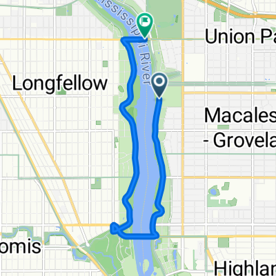
Como Avenue to Co Rd B & Hamline Ave
- 5.2 km
- 34 m
- 22 m
- Falcon Heights, Minnesota, United States
A cycling route starting in Falcon Heights, Minnesota, United States.
Overview
Begin by heading south on Dunlap St.
Turn right onto bike lane on Hoyt Ave.
Turn left on Underwood St. in the MN State Fairgrounds.
Turn right onto Randall Ave.
Turn right on Commonweath and imediate left onto the Intercampus Transit Way.
Intercapus Transitway turns into 5th St SE.
Turn left onto 6th Ave.
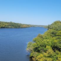
Follow 6th Ave as it turns into the Stone Arch Bridge.
Exit the Stone Arch Bridge and take a right onto W River Parkway. Make an immediate right onto Portland Ave.
Turn right onto 3rd St.
Turn left onto 2nd Ave.
Arrive at Destination
created this 17 years ago
Continue with Bikemap
You would like to ride B2B00346 55108 > 55401 via Hoyt, Transit Way, 5th St, Stone Arch or customize it for your own trip? Here is what you can do with this Bikemap route:
Free trial for 3 days, or one-time payment. More about Bikemap Premium.
Discover more Premium features.
Get Bikemap PremiumFrom our community
Open it in the app