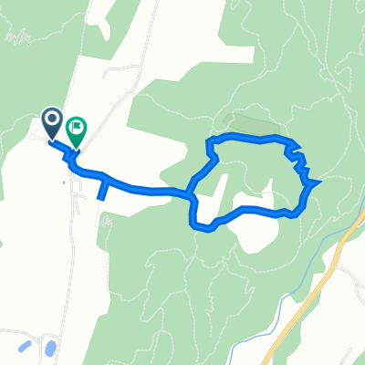
Burke to Maple Ridge AM ride
A cycling route starting in Lyndonville, Vermont, United States.
Overview
About this route
Great scenic shorter ride for an AM or PM. Unpaved sections are smoother than the pavement for the most part. Fine for road bikes. Skip the little spur to the N on Maple ridge unless you want to hook into some other back roads!
- -:--
- Duration
- 23.6 km
- Distance
- 422 m
- Ascent
- 422 m
- Descent
- ---
- Avg. speed
- ---
- Max. altitude
Route quality
Waytypes & surfaces along the route
Waytypes
Quiet road
18.8 km
(80 %)
Road
4.8 km
(20 %)
Surfaces
Paved
7.3 km
(31 %)
Unpaved
16.3 km
(69 %)
Unpaved (undefined)
16.3 km
(69 %)
Paved (undefined)
7.2 km
(31 %)
Continue with Bikemap
Use, edit, or download this cycling route
You would like to ride Burke to Maple Ridge AM ride or customize it for your own trip? Here is what you can do with this Bikemap route:
Free features
- Save this route as favorite or in collections
- Copy & plan your own version of this route
- Sync your route with Garmin or Wahoo
Premium features
Free trial for 3 days, or one-time payment. More about Bikemap Premium.
- Navigate this route on iOS & Android
- Export a GPX / KML file of this route
- Create your custom printout (try it for free)
- Download this route for offline navigation
Discover more Premium features.
Get Bikemap PremiumFrom our community
Other popular routes starting in Lyndonville
- 2052 Darling Hill Rd, East Burke to 181–191 Ch de l'Étang-Sugar-Loaf, Potton
- Distance
- 103.5 km
- Ascent
- 3,946 m
- Descent
- 3,906 m
- Location
- Lyndonville, Vermont, United States
- Burke to Maple Ridge AM ride
- Distance
- 23.6 km
- Ascent
- 422 m
- Descent
- 422 m
- Location
- Lyndonville, Vermont, United States
- the Wildflower Inn to Potton
- Distance
- 98.6 km
- Ascent
- 1,519 m
- Descent
- 1,507 m
- Location
- Lyndonville, Vermont, United States
- Route to 2261 Darling Hill Rd, Lyndonville
- Distance
- 4.1 km
- Ascent
- 110 m
- Descent
- 97 m
- Location
- Lyndonville, Vermont, United States
- Sugarhouse run vers herb's
- Distance
- 7 km
- Ascent
- 131 m
- Descent
- 160 m
- Location
- Lyndonville, Vermont, United States
- northeast kingdom challenge
- Distance
- 93.3 km
- Ascent
- 522 m
- Descent
- 516 m
- Location
- Lyndonville, Vermont, United States
- Moriah’s Ascent (one way)
- Distance
- 1 km
- Ascent
- 54 m
- Descent
- 4 m
- Location
- Lyndonville, Vermont, United States
- 1219–1399 Kirby Rd, East Burke to 39 Main St, Montpelier
- Distance
- 81.5 km
- Ascent
- 520 m
- Descent
- 744 m
- Location
- Lyndonville, Vermont, United States
Open it in the app