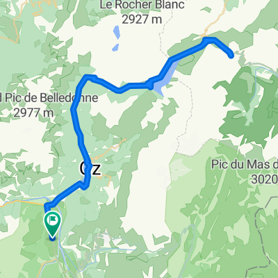
Stef@ns Tour zur Tour 2004 6. Etappe vom 21.07.04
- 69.8 km
- 297 m
- 1,930 m
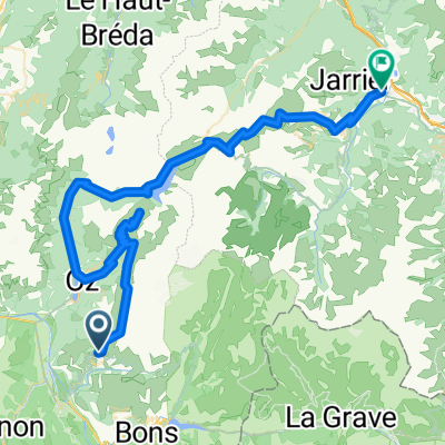
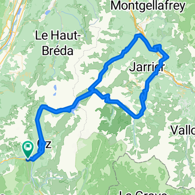
- Huez, Auvergne-Rhône-Alpes, France
A cycling route starting in Huez, Auvergne-Rhône-Alpes, France.
Overview
created this 7 years ago
Route quality
Access road
0.3 km
(2 %)
Quiet road
0.1 km
(1 %)
Undefined
13.5 km
(97 %)
Paved
12.5 km
(90 %)
Asphalt
12.5 km
(90 %)
Undefined
1.4 km
(10 %)
Continue with Bikemap
You would like to ride ALPE D'HUEZ or customize it for your own trip? Here is what you can do with this Bikemap route:
Free trial for 3 days, or one-time payment. More about Bikemap Premium.
Discover more Premium features.
Get Bikemap PremiumFrom our community
Open it in the app