

Burg Breuberg
A cycling route starting in Höchst im Odenwald, Hesse, Germany.
Overview
About this route
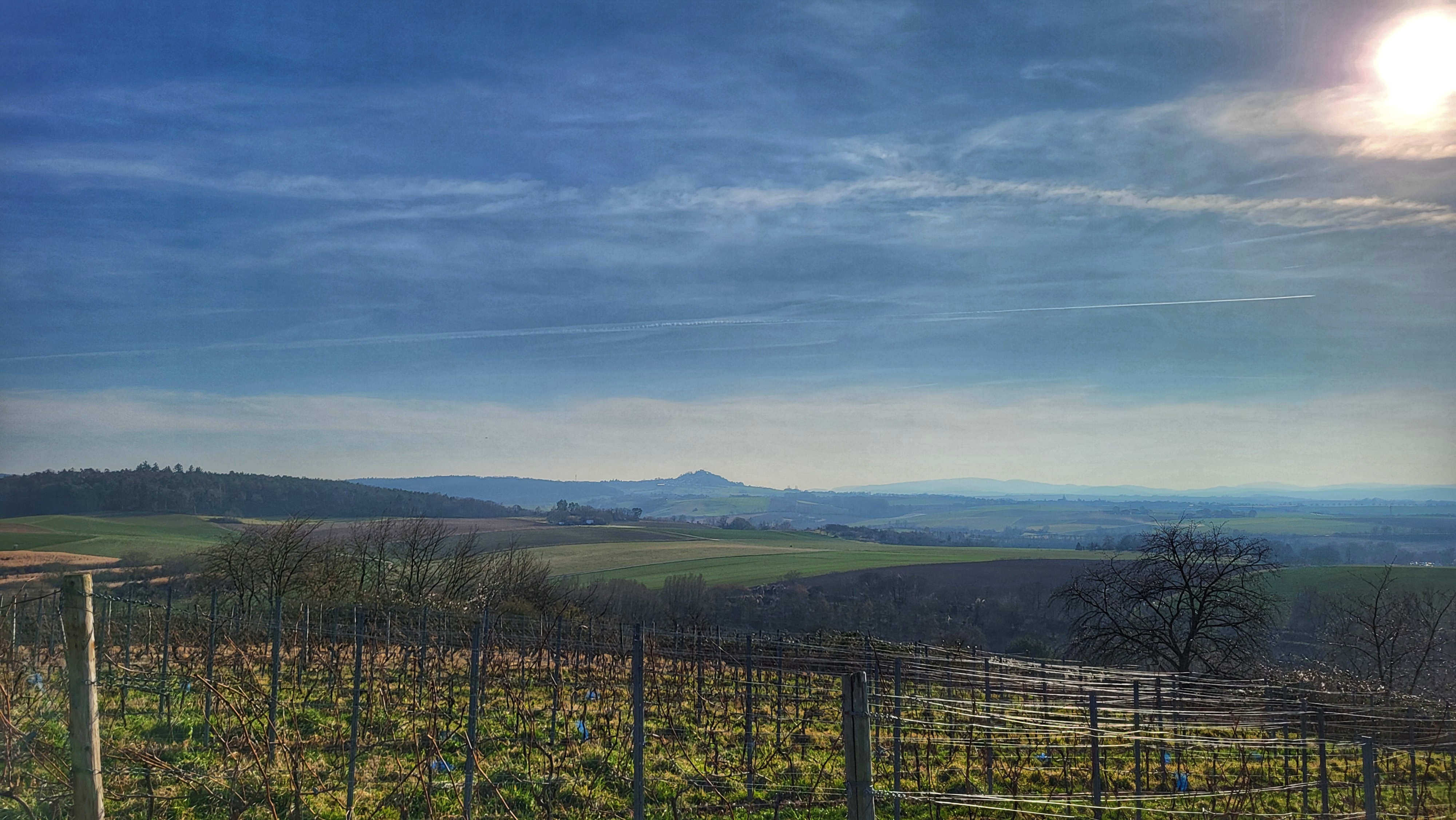
Heute eine kalter Rundenbeginn. Aber es wurde schnell warm :-). Dann hoch zur Burg Breuberg. Dann war es richtig war. Was ich nie warm bekomme sind die Zehen. Bei manchen sind es die Ohren oder die Finger, die während der Wintertour kühl bleiben. Aber nach 2 Stunden war ich ja schon wieder zu Hause. Nun erst mal ein kaltes Bier :-)) #noebike
- -:--
- Duration
- 22.1 km
- Distance
- 430 m
- Ascent
- 427 m
- Descent
- ---
- Avg. speed
- ---
- Max. altitude

Route photos


Route quality
Waytypes & surfaces along the route
Waytypes
Track
15 km
(68 %)
Quiet road
3 km
(14 %)
Surfaces
Paved
0.2 km
(1 %)
Unpaved
15.5 km
(70 %)
Ground
7.1 km
(32 %)
Unpaved (undefined)
4.2 km
(19 %)
Continue with Bikemap
Use, edit, or download this cycling route
You would like to ride Burg Breuberg or customize it for your own trip? Here is what you can do with this Bikemap route:
Free features
- Save this route as favorite or in collections
- Copy & plan your own version of this route
- Sync your route with Garmin or Wahoo
Premium features
Free trial for 3 days, or one-time payment. More about Bikemap Premium.
- Navigate this route on iOS & Android
- Export a GPX / KML file of this route
- Create your custom printout (try it for free)
- Download this route for offline navigation
Discover more Premium features.
Get Bikemap PremiumFrom our community
Other popular routes starting in Höchst im Odenwald
 3 Brunnen Runde
- Distance
- 31.2 km
- Ascent
- 441 m
- Descent
- 437 m
- Location
- Höchst im Odenwald, Hesse, Germany
 Toter Mann - Kimbach - Bad König
- Distance
- 35.6 km
- Ascent
- 608 m
- Descent
- 607 m
- Location
- Höchst im Odenwald, Hesse, Germany
 Wald-Amorbach Runde
- Distance
- 21.8 km
- Ascent
- 579 m
- Descent
- 580 m
- Location
- Höchst im Odenwald, Hesse, Germany
 Frankfurter Straße-Binselberg-Wendelinuskapelle-Umstadt
- Distance
- 35.7 km
- Ascent
- 479 m
- Descent
- 477 m
- Location
- Höchst im Odenwald, Hesse, Germany
 über den Otzberg nach Groß-Umstadt
- Distance
- 39.7 km
- Ascent
- 562 m
- Descent
- 562 m
- Location
- Höchst im Odenwald, Hesse, Germany
 durch den Mühlgrund
- Distance
- 42.9 km
- Ascent
- 411 m
- Descent
- 408 m
- Location
- Höchst im Odenwald, Hesse, Germany
 Waldhaus Obernburg
- Distance
- 35.4 km
- Ascent
- 334 m
- Descent
- 332 m
- Location
- Höchst im Odenwald, Hesse, Germany
 Rimhorn-Lützelbach-Hainstadt Runde
- Distance
- 30.4 km
- Ascent
- 617 m
- Descent
- 620 m
- Location
- Höchst im Odenwald, Hesse, Germany
Open it in the app