

penzance to tintagel
A cycling route starting in Penzance, England, United Kingdom.
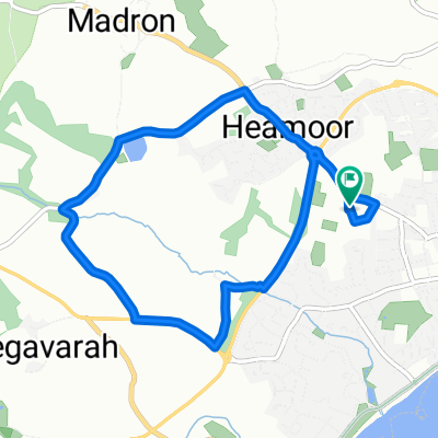
Overview
About this route
Leg 1 roddy and julian lejog.
Note - two other options near padstow that google maps wont let you do!
-
take the ferry to rock and cut out the esturary
-
take the camelford trail along the esturary to wadebridge - level cycling on old railway I think.
- -:--
- Duration
- 113.9 km
- Distance
- 777 m
- Ascent
- 736 m
- Descent
- ---
- Avg. speed
- ---
- Max. altitude
Continue with Bikemap
Use, edit, or download this cycling route
You would like to ride penzance to tintagel or customize it for your own trip? Here is what you can do with this Bikemap route:
Free features
- Save this route as favorite or in collections
- Copy & plan your own version of this route
- Split it into stages to create a multi-day tour
- Sync your route with Garmin or Wahoo
Premium features
Free trial for 3 days, or one-time payment. More about Bikemap Premium.
- Navigate this route on iOS & Android
- Export a GPX / KML file of this route
- Create your custom printout (try it for free)
- Download this route for offline navigation
Discover more Premium features.
Get Bikemap PremiumFrom our community
Other popular routes starting in Penzance
 PZ Tri bike route
- Distance
- 27.1 km
- Ascent
- 292 m
- Descent
- 292 m
- Location
- Penzance, England, United Kingdom
 Day 1 Penzance to Penzance Prologue
- Distance
- 36.1 km
- Ascent
- 364 m
- Descent
- 364 m
- Location
- Penzance, England, United Kingdom
 E2E Northern Cornwall
- Distance
- 616.9 km
- Ascent
- 1,462 m
- Descent
- 1,452 m
- Location
- Penzance, England, United Kingdom
 penzance to tintagel
- Distance
- 113.9 km
- Ascent
- 777 m
- Descent
- 736 m
- Location
- Penzance, England, United Kingdom
 Day 2 Penzance to Boscastle
- Distance
- 108 km
- Ascent
- 780 m
- Descent
- 533 m
- Location
- Penzance, England, United Kingdom
 PZ Tri run route
- Distance
- 6.4 km
- Ascent
- 71 m
- Descent
- 70 m
- Location
- Penzance, England, United Kingdom
 Penzance Train Stationto Land End YHA
- Distance
- 13.5 km
- Ascent
- 212 m
- Descent
- 141 m
- Location
- Penzance, England, United Kingdom
 Penzance - Sennen via Lamorna
- Distance
- 26.6 km
- Ascent
- 297 m
- Descent
- 301 m
- Location
- Penzance, England, United Kingdom
Open it in the app