

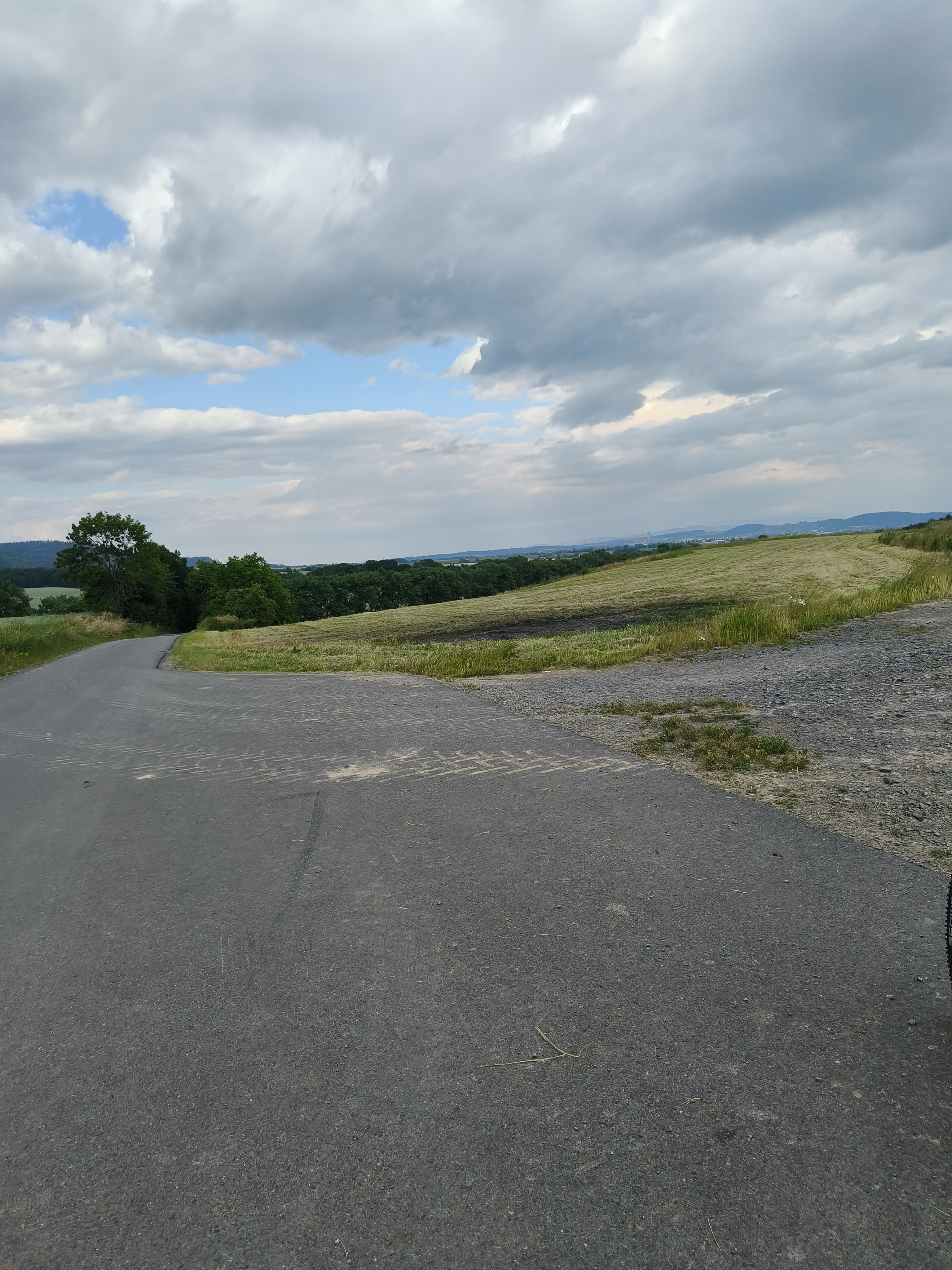
Hranice, Rep Tcheque / Uherské Hradiště, Rep Thcheque
A cycling route starting in Hranice, Olomoucký kraj, Czechia.
Overview
About this route
<p>Hotel Morava hotelmorava-uh.cz</p>
<p>Šafaříkova 855, Uherské Hradiště, 686 01, Czech Republic</p>
Translated, show original (French)- -:--
- Duration
- 93.3 km
- Distance
- 203 m
- Ascent
- 342 m
- Descent
- ---
- Avg. speed
- ---
- Max. altitude

Route quality
Waytypes & surfaces along the route
Waytypes
Cycleway
30.8 km
(33 %)
Road
18.7 km
(20 %)
Surfaces
Paved
57.9 km
(62 %)
Unpaved
4.7 km
(5 %)
Asphalt
56.9 km
(61 %)
Gravel
2.8 km
(3 %)
Continue with Bikemap
Use, edit, or download this cycling route
You would like to ride Hranice, Rep Tcheque / Uherské Hradiště, Rep Thcheque or customize it for your own trip? Here is what you can do with this Bikemap route:
Free features
- Save this route as favorite or in collections
- Copy & plan your own version of this route
- Split it into stages to create a multi-day tour
- Sync your route with Garmin or Wahoo
Premium features
Free trial for 3 days, or one-time payment. More about Bikemap Premium.
- Navigate this route on iOS & Android
- Export a GPX / KML file of this route
- Create your custom printout (try it for free)
- Download this route for offline navigation
Discover more Premium features.
Get Bikemap PremiumFrom our community
Other popular routes starting in Hranice
 Hranice, Rep Tcheque / Uherské Hradiště, Rep Thcheque
- Distance
- 93.3 km
- Ascent
- 203 m
- Descent
- 342 m
- Location
- Hranice, Olomoucký kraj, Czechia
 Svatební cesta do Jiljí den sedmý
- Distance
- 71.3 km
- Ascent
- 278 m
- Descent
- 225 m
- Location
- Hranice, Olomoucký kraj, Czechia
 Hranice_na_Morave-Tesak-Mikulcin_Vrch-Kohutka-Kasarne-Makov-Bumbalka-Pustevny-Goleszów 4-5d - ??
- Distance
- 357.2 km
- Ascent
- 3,381 m
- Descent
- 3,324 m
- Location
- Hranice, Olomoucký kraj, Czechia
 Hranice na Morave - Breclav
- Distance
- 170.9 km
- Ascent
- 385 m
- Descent
- 509 m
- Location
- Hranice, Olomoucký kraj, Czechia
 Okruh do Jezernice
- Distance
- 37.6 km
- Ascent
- 361 m
- Descent
- 353 m
- Location
- Hranice, Olomoucký kraj, Czechia
- ostrava hranice 2 du 30 au 31
- Distance
- 31.5 km
- Ascent
- 331 m
- Descent
- 338 m
- Location
- Hranice, Olomoucký kraj, Czechia
 Cik-cak Valšovským polesím
- Distance
- 45.2 km
- Ascent
- 770 m
- Descent
- 770 m
- Location
- Hranice, Olomoucký kraj, Czechia
 10 ETAP 5 czerwca niedziela
- Distance
- 135.9 km
- Ascent
- 658 m
- Descent
- 608 m
- Location
- Hranice, Olomoucký kraj, Czechia
Open it in the app