
Von le Puy-en-Velay - Pamblona
- 733.5 km
- 8,996 m
- 9,287 m
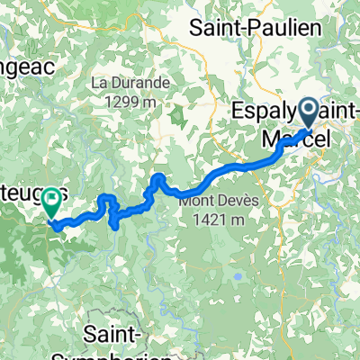
- Le Puy-en-Velay, Auvergne-Rhône-Alpes, France
A cycling route starting in Le Puy-en-Velay, Auvergne-Rhône-Alpes, France.
Overview
created this 6 years ago
Route quality
Road
26.5 km
(32 %)
Track
14.9 km
(18 %)
Paved
16.6 km
(20 %)
Unpaved
9.1 km
(11 %)
Asphalt
14.1 km
(17 %)
Unpaved (undefined)
3.3 km
(4 %)
Continue with Bikemap
You would like to ride GV19 le puy - la garde-guérin or customize it for your own trip? Here is what you can do with this Bikemap route:
Free trial for 3 days, or one-time payment. More about Bikemap Premium.
Discover more Premium features.
Get Bikemap PremiumFrom our community
Open it in the app