

rando sancerre pouilly
A cycling route starting in Saint-Satur, Centre-Val de Loire, France.
Overview
About this route
- -:--
- Duration
- 51.7 km
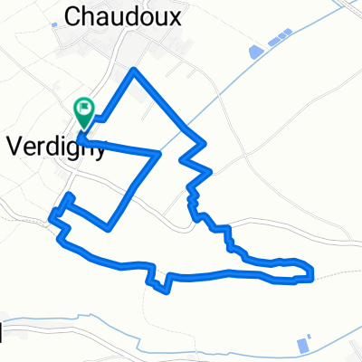
- Distance
- 419 m
- Ascent
- 431 m
- Descent
- ---
- Avg. speed
- ---
- Max. altitude
Route quality
Waytypes & surfaces along the route
Waytypes
Road
23.8 km
(46 %)
Cycleway
3.6 km
(7 %)
Surfaces
Paved
26.9 km
(52 %)
Asphalt
26.9 km
(52 %)
Undefined
24.8 km
(48 %)
Continue with Bikemap
Use, edit, or download this cycling route
You would like to ride rando sancerre pouilly or customize it for your own trip? Here is what you can do with this Bikemap route:
Free features
- Save this route as favorite or in collections
- Copy & plan your own version of this route
- Sync your route with Garmin or Wahoo
Premium features
Free trial for 3 days, or one-time payment. More about Bikemap Premium.
- Navigate this route on iOS & Android
- Export a GPX / KML file of this route
- Create your custom printout (try it for free)
- Download this route for offline navigation
Discover more Premium features.
Get Bikemap PremiumFrom our community
Other popular routes starting in Saint-Satur
 Saint satur-Thauvenay-Recy- Saint Bouize-Saint Satur
- Distance
- 27.4 km
- Ascent
- 122 m
- Descent
- 122 m
- Location
- Saint-Satur, Centre-Val de Loire, France
 EU 24 _ Saint Satur - Nevers _ 69 km
- Distance
- 69 km
- Ascent
- 74 m
- Descent
- 30 m
- Location
- Saint-Satur, Centre-Val de Loire, France
 St Satu to Aubigny
- Distance
- 41 km
- Ascent
- 334 m
- Descent
- 294 m
- Location
- Saint-Satur, Centre-Val de Loire, France
 8 heures de Verdigny 2011
- Distance
- 5.9 km
- Ascent
- 78 m
- Descent
- 79 m
- Location
- Saint-Satur, Centre-Val de Loire, France
 2013 day one
- Distance
- 69.5 km
- Ascent
- 182 m
- Descent
- 246 m
- Location
- Saint-Satur, Centre-Val de Loire, France
 depart sancerre
- Distance
- 716.6 km
- Ascent
- 1,312 m
- Descent
- 1,389 m
- Location
- Saint-Satur, Centre-Val de Loire, France
 De Les Godibolles 1024, Saint-Satur à Route de Jargeau 1, Darvoy
- Distance
- 115.3 km
- Ascent
- 368 m
- Descent
- 415 m
- Location
- Saint-Satur, Centre-Val de Loire, France
 Sancerre 108KM d+ 1610 (en passant par Borne et Humbligny )
- Distance
- 108.5 km
- Ascent
- 1,119 m
- Descent
- 1,119 m
- Location
- Saint-Satur, Centre-Val de Loire, France
Open it in the app