
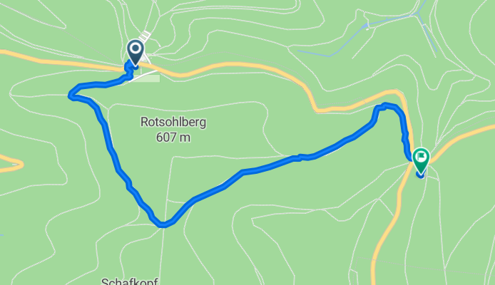

Einfache Fahrt Totenkopfhütte
- 2.8 km
- 76 m
- 107 m
- Sankt Martin, Rhineland-Palatinate, Germany


Track
1.7 km62 %Path
0.9 km32 %Paved
0.1 km(5 %)Unpaved
2.6 km(94 %)Gravel
1.2 km43 %Unpaved (undefined)
1.1 km40 %Free trial for 3 days, or one-time payment. More about Bikemap Premium.
Discover more Premium features.
Get Bikemap PremiumOpen it in the app


