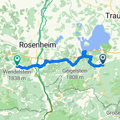
Wandern Vorderalm-Brachtalm-Schnappenkirche
- 11.1 km
- 675 m
- 675 m
- Staudach-Egerndach, Bavaria, Germany
A cycling route starting in Staudach-Egerndach, Bavaria, Germany.
Overview
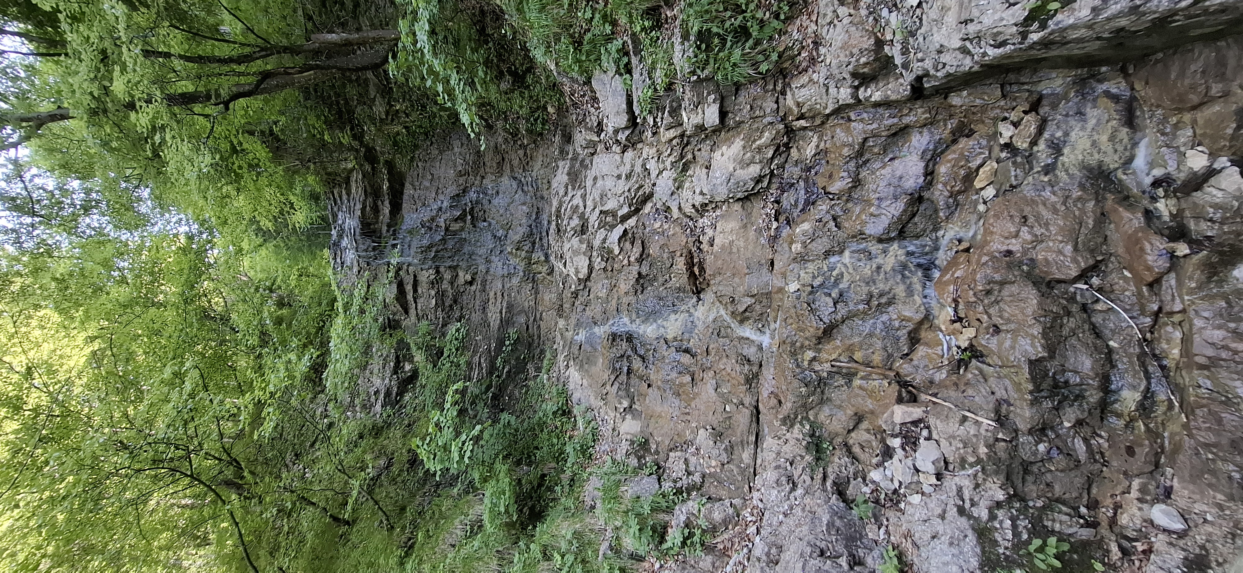
Detour to Gern-Alm was unnecessary. Attempting to ride trail 58 over Grundbachalm to Jochbergalm proved to be of little use.
The ascent on wide forest roads and trails is quite steep. The descent from Hochgernhaus can be made a bit more interesting by some smaller trails. The descent from Jochbergalm to Unterwössen via this route is only recommended for the experienced.
created this 15 years ago
Continue with Bikemap
You would like to ride Hochgernhaus (Abstecher zur Gern-Alm) - Jochbergalm - Abfahrt nach Unterwössen or customize it for your own trip? Here is what you can do with this Bikemap route:
Free trial for 3 days, or one-time payment. More about Bikemap Premium.
Discover more Premium features.
Get Bikemap PremiumFrom our community
Open it in the app