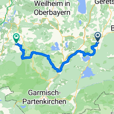
Benediktbeuern - Tutzinger Hütte - Zwiesel
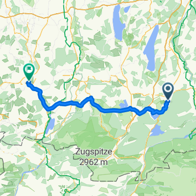
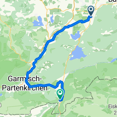
A cycling route starting in Benediktbeuern, Bavaria, Germany.
Overview
About this route
.
- -:--
- Duration
- 30.2 km
- Distance
- 837 m
- Ascent
- 837 m
- Descent
- ---
- Avg. speed
- ---
- Avg. speed
Route highlights
Points of interest along the route
Point of interest after 9 km
Abkürzung Lainbach
Point of interest after 12.1 km
Abzweigung Neubergalm +120m +3 km
Point of interest after 13.8 km
Abkürzung Beim Guten Wasser
Point of interest after 16.7 km
Abkürzung 1 Bichl
Point of interest after 17.1 km
Abkürzung ? Bichl
Continue with Bikemap
Use, edit, or download this cycling route
You would like to ride Benediktbeuern - Tutzinger Hütte - Zwiesel or customize it for your own trip? Here is what you can do with this Bikemap route:
Free features
- Save this route as favorite or in collections
- Copy & plan your own version of this route
- Sync your route with Garmin or Wahoo
Premium features
Free trial for 3 days, or one-time payment. More about Bikemap Premium.
- Navigate this route on iOS & Android
- Export a GPX / KML file of this route
- Create your custom printout (try it for free)
- Download this route for offline navigation
Discover more Premium features.
Get Bikemap PremiumFrom our community
Other popular routes starting in Benediktbeuern
- Walchensee-Jachenrunde
- Distance
- 80.3 km
- Ascent
- 521 m
- Descent
- 524 m
- Location
- Benediktbeuern, Bavaria, Germany
- Route in Kochel am See
- Distance
- 79.8 km
- Ascent
- 705 m
- Descent
- 705 m
- Location
- Benediktbeuern, Bavaria, Germany
- Kirchen und Kapellen des ehem. Benediktbeurer Klosterlands Nord
- Distance
- 23.3 km
- Ascent
- 160 m
- Descent
- 161 m
- Location
- Benediktbeuern, Bavaria, Germany
- Benediktbeurer Moosrunde
- Distance
- 27.6 km
- Ascent
- 54 m
- Descent
- 53 m
- Location
- Benediktbeuern, Bavaria, Germany
- Handbike-Tour Benediktbeuern - Kochelsee (barrierefrei)
- Distance
- 30 km
- Ascent
- 67 m
- Descent
- 65 m
- Location
- Benediktbeuern, Bavaria, Germany
- Alpen 22 1. Tag
- Distance
- 123.6 km
- Ascent
- 2,364 m
- Descent
- 1,990 m
- Location
- Benediktbeuern, Bavaria, Germany
- Benedikbeuern von Kapelle zu Kapelle, Wanderung
- Distance
- 10.5 km
- Ascent
- 101 m
- Descent
- 101 m
- Location
- Benediktbeuern, Bavaria, Germany
- Benedikbeuern von Kapelle zu Kapelle, Radtour
- Distance
- 25.3 km
- Ascent
- 232 m
- Descent
- 232 m
- Location
- Benediktbeuern, Bavaria, Germany
Open it in the app