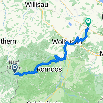
Napf-Luzern
- 39.8 km
- 199 m
- 1,161 m
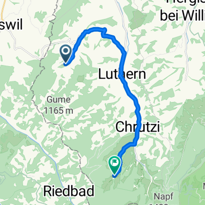
- Luthern, Canton of Lucerne, Switzerland
A cycling route starting in Luthern, Canton of Lucerne, Switzerland.
Overview
to the bike hotel > www.kroneluthern.ch
created this 15 years ago
Route quality
Road
24.6 km
(23 %)
Cycleway
12.8 km
(12 %)
Paved
49.2 km
(46 %)
Unpaved
1.1 km
(1 %)
Asphalt
49.2 km
(46 %)
Ground
1.1 km
(1 %)
Undefined
56.7 km
(53 %)
Route highlights
Continue with Bikemap
You would like to ride Napfrundfahrt or customize it for your own trip? Here is what you can do with this Bikemap route:
Free trial for 3 days, or one-time payment. More about Bikemap Premium.
Discover more Premium features.
Get Bikemap PremiumFrom our community
Open it in the app