

Landunter auf den Feldern und im Wald
A cycling route starting in Höchst im Odenwald, Hesse, Germany.
Overview
About this route
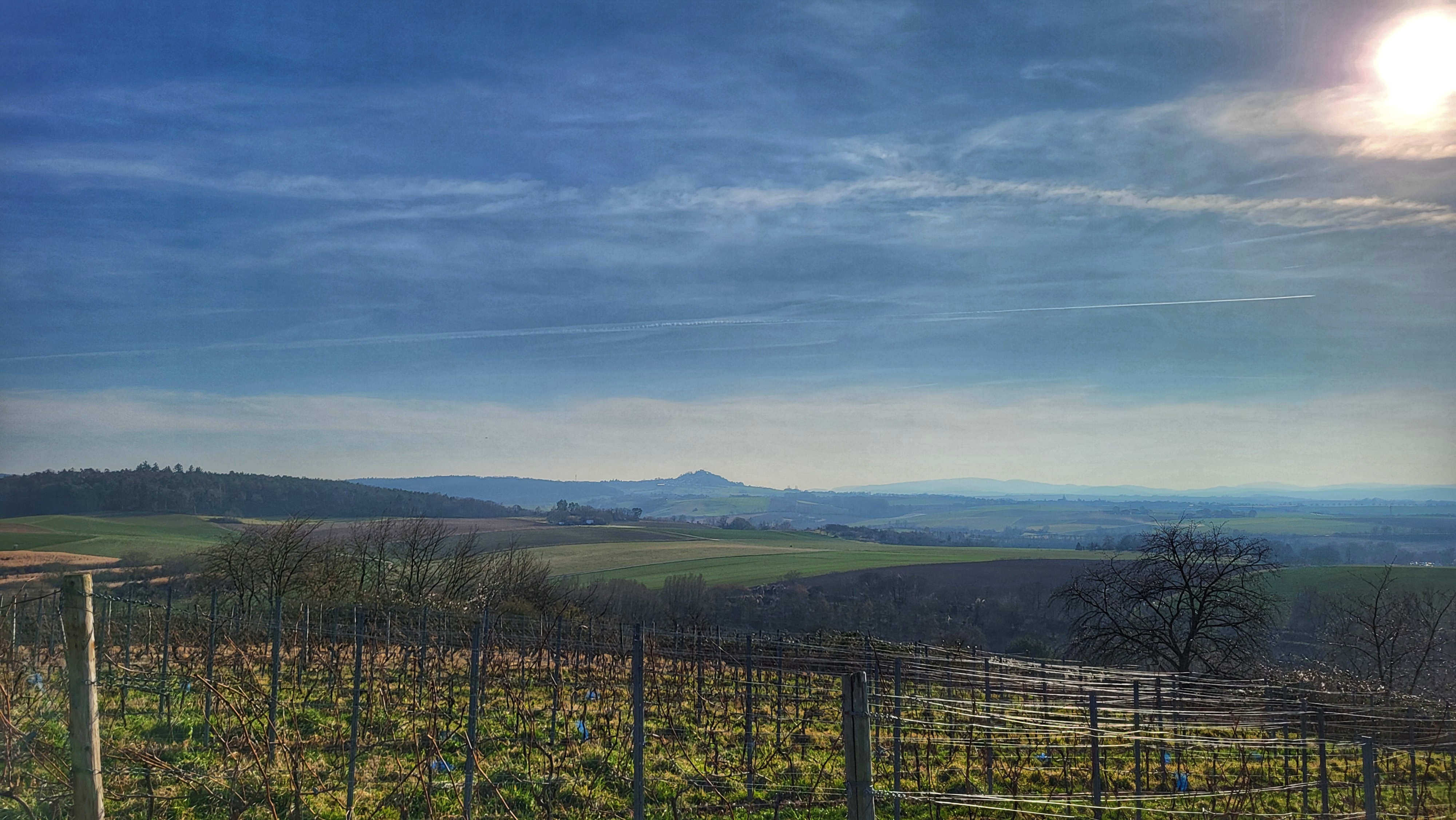
Only the tough get into the garden. After yesterday's snow, today flooding on the fields and in the forest. There are streams that didn't exist at this time yesterday. But you've got to get through it. #noebike
- -:--
- Duration
- 33.9 km
- Distance
- 429 m
- Ascent
- 432 m
- Descent
- ---
- Avg. speed
- ---
- Max. altitude

Route photos


Route quality
Waytypes & surfaces along the route
Waytypes
Track
19 km
(56 %)
Quiet road
9.5 km
(28 %)
Surfaces
Paved
22.4 km
(66 %)
Unpaved
6.4 km
(19 %)
Asphalt
21.4 km
(63 %)
Gravel
3.1 km
(9 %)
Continue with Bikemap
Use, edit, or download this cycling route
You would like to ride Landunter auf den Feldern und im Wald or customize it for your own trip? Here is what you can do with this Bikemap route:
Free features
- Save this route as favorite or in collections
- Copy & plan your own version of this route
- Sync your route with Garmin or Wahoo
Premium features
Free trial for 3 days, or one-time payment. More about Bikemap Premium.
- Navigate this route on iOS & Android
- Export a GPX / KML file of this route
- Create your custom printout (try it for free)
- Download this route for offline navigation
Discover more Premium features.
Get Bikemap PremiumFrom our community
Other popular routes starting in Höchst im Odenwald
 über die Hohe Straße
- Distance
- 25.3 km
- Ascent
- 377 m
- Descent
- 373 m
- Location
- Höchst im Odenwald, Hesse, Germany
 zum Obernburger Waldhaus
- Distance
- 35.6 km
- Ascent
- 327 m
- Descent
- 324 m
- Location
- Höchst im Odenwald, Hesse, Germany
 Frankfurter Straße-Binselberg-Wendelinuskapelle-Umstadt
- Distance
- 35.7 km
- Ascent
- 479 m
- Descent
- 477 m
- Location
- Höchst im Odenwald, Hesse, Germany
 Toter Mann - Kimbach - Bad König
- Distance
- 35.6 km
- Ascent
- 608 m
- Descent
- 607 m
- Location
- Höchst im Odenwald, Hesse, Germany
 über den Otzberg nach Groß-Umstadt
- Distance
- 39.7 km
- Ascent
- 562 m
- Descent
- 562 m
- Location
- Höchst im Odenwald, Hesse, Germany
 3 Brunnen Runde
- Distance
- 31.2 km
- Ascent
- 441 m
- Descent
- 437 m
- Location
- Höchst im Odenwald, Hesse, Germany
 Wald-Amorbach Runde
- Distance
- 21.8 km
- Ascent
- 579 m
- Descent
- 580 m
- Location
- Höchst im Odenwald, Hesse, Germany
 Rimhorn-Lützelbach-Hainstadt Runde
- Distance
- 30.4 km
- Ascent
- 617 m
- Descent
- 620 m
- Location
- Höchst im Odenwald, Hesse, Germany
Open it in the app