Absdorf Traismauer Bank Hanni besucht
- 34.4 km
- 241 m
- 237 m
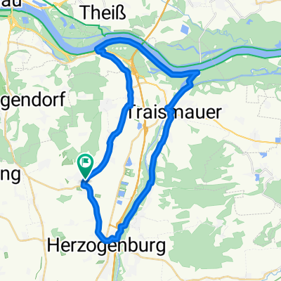
- Statzendorf, Lower Austria, Austria
A cycling route starting in Statzendorf, Lower Austria, Austria.
Overview
Own planning.
Start and finish: Walpersdorf
created this 5 years ago
Route quality
Track
14.7 km
(39 %)
Road
13.2 km
(35 %)
Paved
35.8 km
(95 %)
Asphalt
32.4 km
(86 %)
Paved (undefined)
3.4 km
(9 %)
Undefined
1.9 km
(5 %)
Continue with Bikemap
You would like to ride INZERSDORF - PALT - DRW - WEINBERGRADWEG or customize it for your own trip? Here is what you can do with this Bikemap route:
Free trial for 3 days, or one-time payment. More about Bikemap Premium.
Discover more Premium features.
Get Bikemap PremiumFrom our community
Open it in the app