Grosio - Breno
- 57.6 km
- 1,372 m
- 1,760 m
- Grosio, Lombardy, Italy
A cycling route starting in Grosio, Lombardy, Italy.
Overview
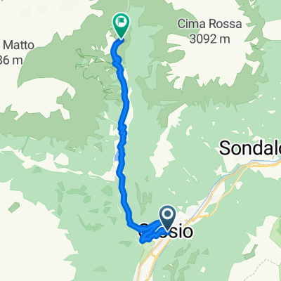
Percorso attraverso la Valgrosina. Strada asfaltata percorsa anche da auto ma con traffico solitamente molto scarso. Partenza da Grosio in piazza della chiesa parrochiale (possibilità di parcheggio), salita verso Ravoledo, si prosegue fino a Fusino, si costeggia la diga e si continua la salita verso la valle d'Eita.
created this 17 years ago
Route quality
Quiet road
15.4 km
(99 %)
Undefined
0.2 km
(1 %)
Paved
15.1 km
(97 %)
Asphalt
15.1 km
(97 %)
Undefined
0.5 km
(3 %)
Continue with Bikemap
You would like to ride Grosio - Eita or customize it for your own trip? Here is what you can do with this Bikemap route:
Free trial for 3 days, or one-time payment. More about Bikemap Premium.
Discover more Premium features.
Get Bikemap PremiumFrom our community
Open it in the app