ETAPPE 3 MORZINE-BEAUFORT (MAANDAG 10/8/2020) DEFINITIEF
- 109 km
- 2,454 m
- 1,836 m
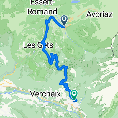
- Morzine, Auvergne-Rhône-Alpes, France
A cycling route starting in Morzine, Auvergne-Rhône-Alpes, France.
Overview
created this 6 years ago
Route quality
Quiet road
1.9 km
14 %
Undefined
11.5 km
86 %
Paved
13 km
(97 %)
Asphalt
13 km
97 %
Undefined
0.4 km
3 %
Continue with Bikemap
You would like to ride COL DE JOUX VERTE- AVORIAZ (por Morzine) or customize it for your own trip? Here is what you can do with this Bikemap route:
Free trial for 3 days, or one-time payment. More about Bikemap Premium.
Discover more Premium features.
Get Bikemap PremiumFrom our community
Open it in the app