

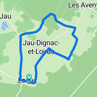
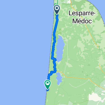
De Chemin du Centre 40, Jau-Dignac-et-Loirac à Chemin du Centre 44, Jau-Dignac-et-Loirac
A cycling route starting in Gaillan-en-Médoc, Nouvelle-Aquitaine, France.
Overview
About this route
- 44 min
- Duration
- 12.8 km
- Distance
- 41 m
- Ascent
- 43 m
- Descent
- 17.4 km/h
- Avg. speed
- ---
- Max. altitude

Route quality
Waytypes & surfaces along the route
Waytypes
Road
6.8 km
(53 %)
Quiet road
5.9 km
(46 %)
Surfaces
Paved
1.5 km
(12 %)
Asphalt
1.5 km
(12 %)
Undefined
11.3 km
(88 %)
Continue with Bikemap
Use, edit, or download this cycling route
You would like to ride De Chemin du Centre 40, Jau-Dignac-et-Loirac à Chemin du Centre 44, Jau-Dignac-et-Loirac or customize it for your own trip? Here is what you can do with this Bikemap route:
Free features
- Save this route as favorite or in collections
- Copy & plan your own version of this route
- Sync your route with Garmin or Wahoo
Premium features
Free trial for 3 days, or one-time payment. More about Bikemap Premium.
- Navigate this route on iOS & Android
- Export a GPX / KML file of this route
- Create your custom printout (try it for free)
- Download this route for offline navigation
Discover more Premium features.
Get Bikemap PremiumFrom our community
Other popular routes starting in Gaillan-en-Médoc
 De Chemin du Centre 40, Jau-Dignac-et-Loirac à Chemin du Centre 40, Jau-Dignac-et-Loirac
- Distance
- 7.9 km
- Ascent
- 28 m
- Descent
- 30 m
- Location
- Gaillan-en-Médoc, Nouvelle-Aquitaine, France
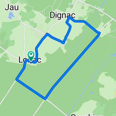
 Jau Dignac et Loirac to Le Gua
- Distance
- 15.8 km
- Ascent
- 25 m
- Descent
- 38 m
- Location
- Gaillan-en-Médoc, Nouvelle-Aquitaine, France
 De Chemin du Centre 40, Jau-Dignac-et-Loirac à Chemin du Centre 40, Jau-Dignac-et-Loirac
- Distance
- 6.6 km
- Ascent
- 21 m
- Descent
- 24 m
- Location
- Gaillan-en-Médoc, Nouvelle-Aquitaine, France
 De Chemin du Centre 40, Jau-Dignac-et-Loirac à Chemin du Centre 40, Jau-Dignac-et-Loirac
- Distance
- 11.3 km
- Ascent
- 28 m
- Descent
- 27 m
- Location
- Gaillan-en-Médoc, Nouvelle-Aquitaine, France
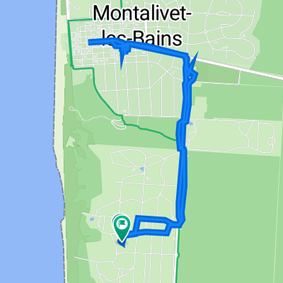 Vendays-Montalivet Markt
- Distance
- 7.6 km
- Ascent
- 55 m
- Descent
- 103 m
- Location
- Gaillan-en-Médoc, Nouvelle-Aquitaine, France
 montalivet
- Distance
- 8.7 km
- Ascent
- 14 m
- Descent
- 22 m
- Location
- Gaillan-en-Médoc, Nouvelle-Aquitaine, France
 Route sans nom
- Distance
- 9.9 km
- Ascent
- 54 m
- Descent
- 105 m
- Location
- Gaillan-en-Médoc, Nouvelle-Aquitaine, France
 Gaillan-en-Médoc - Le Porge
- Distance
- 57.1 km
- Ascent
- 377 m
- Descent
- 383 m
- Location
- Gaillan-en-Médoc, Nouvelle-Aquitaine, France
Open it in the app