

ChiemseeRunde
A cycling route starting in Staudach-Egerndach, Bavaria, Germany.
Overview
About this route
nice route with predominantly asphalt surface, with a lot of pedestrian traffic in some sections
- -:--
- Duration
- 63.1 km
- Distance
- 126 m
- Ascent
- 125 m
- Descent
- ---
- Avg. speed
- ---
- Max. altitude

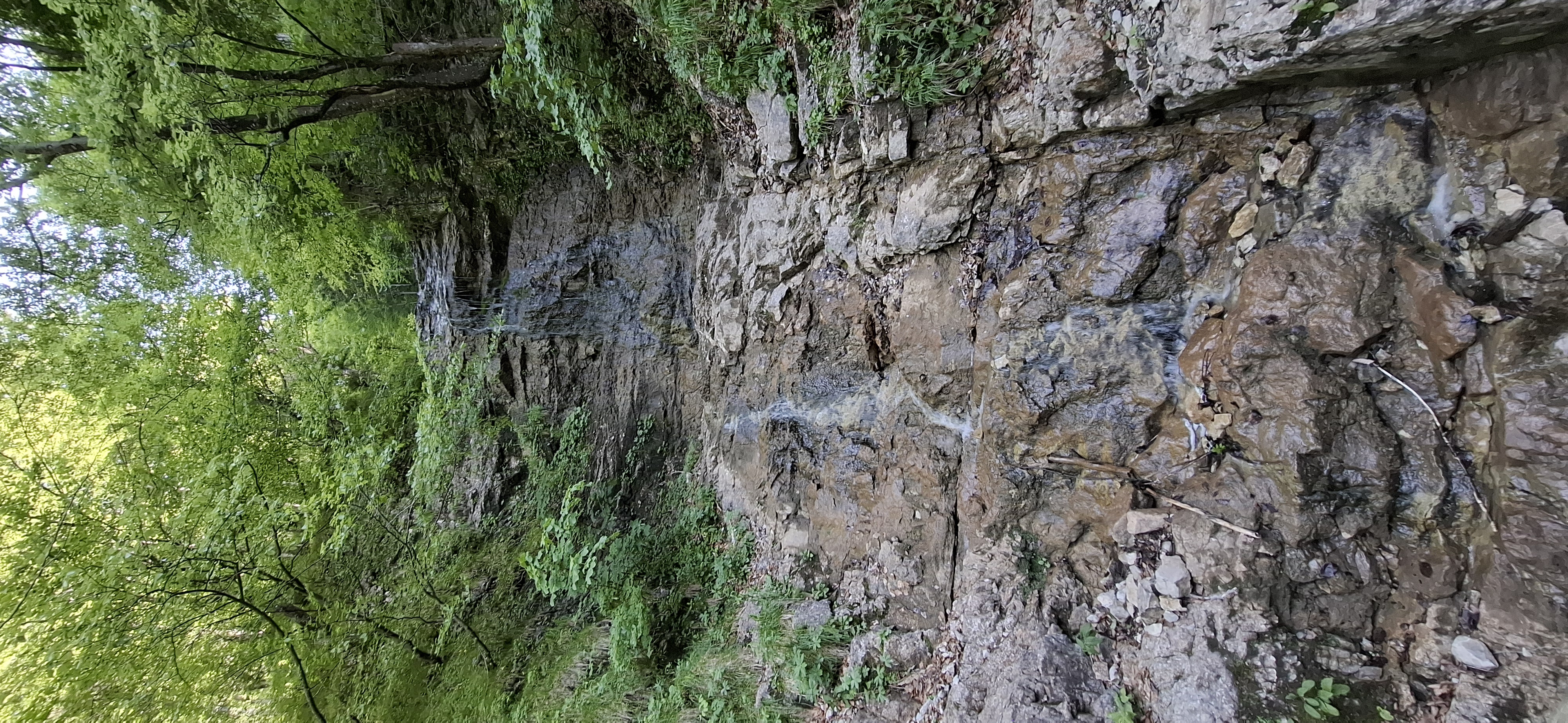
Route photos

Route quality
Waytypes & surfaces along the route
Waytypes
Track
18.9 km
(30 %)
Quiet road
18.3 km
(29 %)
Surfaces
Paved
28.4 km
(45 %)
Unpaved
33.4 km
(53 %)
Asphalt
28.4 km
(45 %)
Gravel
24.6 km
(39 %)
Continue with Bikemap
Use, edit, or download this cycling route
You would like to ride ChiemseeRunde or customize it for your own trip? Here is what you can do with this Bikemap route:
Free features
- Save this route as favorite or in collections
- Copy & plan your own version of this route
- Sync your route with Garmin or Wahoo
Premium features
Free trial for 3 days, or one-time payment. More about Bikemap Premium.
- Navigate this route on iOS & Android
- Export a GPX / KML file of this route
- Create your custom printout (try it for free)
- Download this route for offline navigation
Discover more Premium features.
Get Bikemap PremiumFrom our community
Other popular routes starting in Staudach-Egerndach
 rund um den hochgern
- Distance
- 37.2 km
- Ascent
- 859 m
- Descent
- 860 m
- Location
- Staudach-Egerndach, Bavaria, Germany
 Wandern Vorderalm-Brachtalm-Schnappenkirche
- Distance
- 11.1 km
- Ascent
- 675 m
- Descent
- 675 m
- Location
- Staudach-Egerndach, Bavaria, Germany
 bayern zinnkopf
- Distance
- 52 km
- Ascent
- 1,176 m
- Descent
- 1,176 m
- Location
- Staudach-Egerndach, Bavaria, Germany
 Bergener MTB-Runde
- Distance
- 23.8 km
- Ascent
- 1,033 m
- Descent
- 1,001 m
- Location
- Staudach-Egerndach, Bavaria, Germany
 Rottauer Tal
- Distance
- 21.3 km
- Ascent
- 647 m
- Descent
- 647 m
- Location
- Staudach-Egerndach, Bavaria, Germany
 Achental-Radweg
- Distance
- 59.8 km
- Ascent
- 170 m
- Descent
- 172 m
- Location
- Staudach-Egerndach, Bavaria, Germany
 Rottau Maisalm
- Distance
- 40.7 km
- Ascent
- 1,217 m
- Descent
- 1,211 m
- Location
- Staudach-Egerndach, Bavaria, Germany
 Mühlwinkl nach Straße Ohne Straßennamen
- Distance
- 4.2 km
- Ascent
- 644 m
- Descent
- 106 m
- Location
- Staudach-Egerndach, Bavaria, Germany
Open it in the app