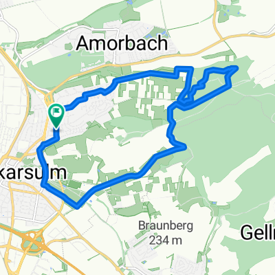
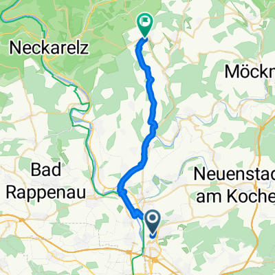
NSU - Paul Gussmann Weg - Cleversulzbach - Salzweg - NSU
A cycling route starting in Neckarsulm, Baden-Wurttemberg, Germany.
Overview
About this route
- -:--
- Duration
- 29.9 km
- Distance
- 506 m
- Ascent
- 411 m
- Descent
- ---
- Avg. speed
- 351 m
- Max. altitude
Route quality
Waytypes & surfaces along the route
Waytypes
Track
18.5 km
(62 %)
Path
6 km
(20 %)
Surfaces
Paved
5.4 km
(18 %)
Unpaved
21.2 km
(71 %)
Gravel
8.4 km
(28 %)
Ground
7.5 km
(25 %)
Continue with Bikemap
Use, edit, or download this cycling route
You would like to ride NSU - Paul Gussmann Weg - Cleversulzbach - Salzweg - NSU or customize it for your own trip? Here is what you can do with this Bikemap route:
Free features
- Save this route as favorite or in collections
- Copy & plan your own version of this route
- Sync your route with Garmin or Wahoo
Premium features
Free trial for 3 days, or one-time payment. More about Bikemap Premium.
- Navigate this route on iOS & Android
- Export a GPX / KML file of this route
- Create your custom printout (try it for free)
- Download this route for offline navigation
Discover more Premium features.
Get Bikemap PremiumFrom our community
Other popular routes starting in Neckarsulm
- Neckar - Jagst - Kocher
- Distance
- 43.2 km
- Ascent
- 249 m
- Descent
- 250 m
- Location
- Neckarsulm, Baden-Wurttemberg, Germany
- Mädelstour Pfingstmontag
- Distance
- 24 km
- Ascent
- 243 m
- Descent
- 243 m
- Location
- Neckarsulm, Baden-Wurttemberg, Germany
- Neckargartach-Bad Wimpfen 1
- Distance
- 23.3 km
- Ascent
- 163 m
- Descent
- 162 m
- Location
- Neckarsulm, Baden-Wurttemberg, Germany
- HN-Bad Wimpfen-Mosbach-Altstadt-Retoure
- Distance
- 66 km
- Ascent
- 224 m
- Descent
- 224 m
- Location
- Neckarsulm, Baden-Wurttemberg, Germany
- NSU - Schwabbach - NSU
- Distance
- 38.1 km
- Ascent
- 530 m
- Descent
- 430 m
- Location
- Neckarsulm, Baden-Wurttemberg, Germany
- NSU-Pichterich - Steinerner Tisch (Variante zum Salzweg)
- Distance
- 15 km
- Ascent
- 302 m
- Descent
- 171 m
- Location
- Neckarsulm, Baden-Wurttemberg, Germany
- am Neckar runter und wieder rauf
- Distance
- 26.5 km
- Ascent
- 80 m
- Descent
- 79 m
- Location
- Neckarsulm, Baden-Wurttemberg, Germany
- Aquatoll - Löwensteiner Berge - Brettachtal - Aquatoll
- Distance
- 63.7 km
- Ascent
- 507 m
- Descent
- 507 m
- Location
- Neckarsulm, Baden-Wurttemberg, Germany
Open it in the app