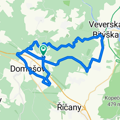
Morawy Południowe_2
- 39.1 km
- 478 m
- 416 m
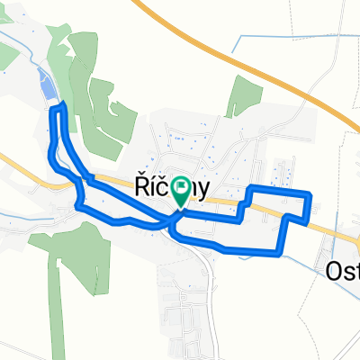
- Říčany, South Moravian, Czechia
A cycling route starting in Říčany, South Moravian, Czechia.
Overview
created this 15 years ago
Route quality
Track
17.6 km
(57 %)
Quiet road
8.9 km
(29 %)
Paved
11.4 km
(37 %)
Unpaved
9.9 km
(32 %)
Asphalt
8.9 km
(29 %)
Unpaved (undefined)
4.6 km
(15 %)
Continue with Bikemap
You would like to ride Tour de Javůrek or customize it for your own trip? Here is what you can do with this Bikemap route:
Free trial for 3 days, or one-time payment. More about Bikemap Premium.
Discover more Premium features.
Get Bikemap PremiumFrom our community
Open it in the app