Popri Malom Dunaji
A cycling route starting in Kolárovo, Nitra Region, Slovakia.
Overview
About this route
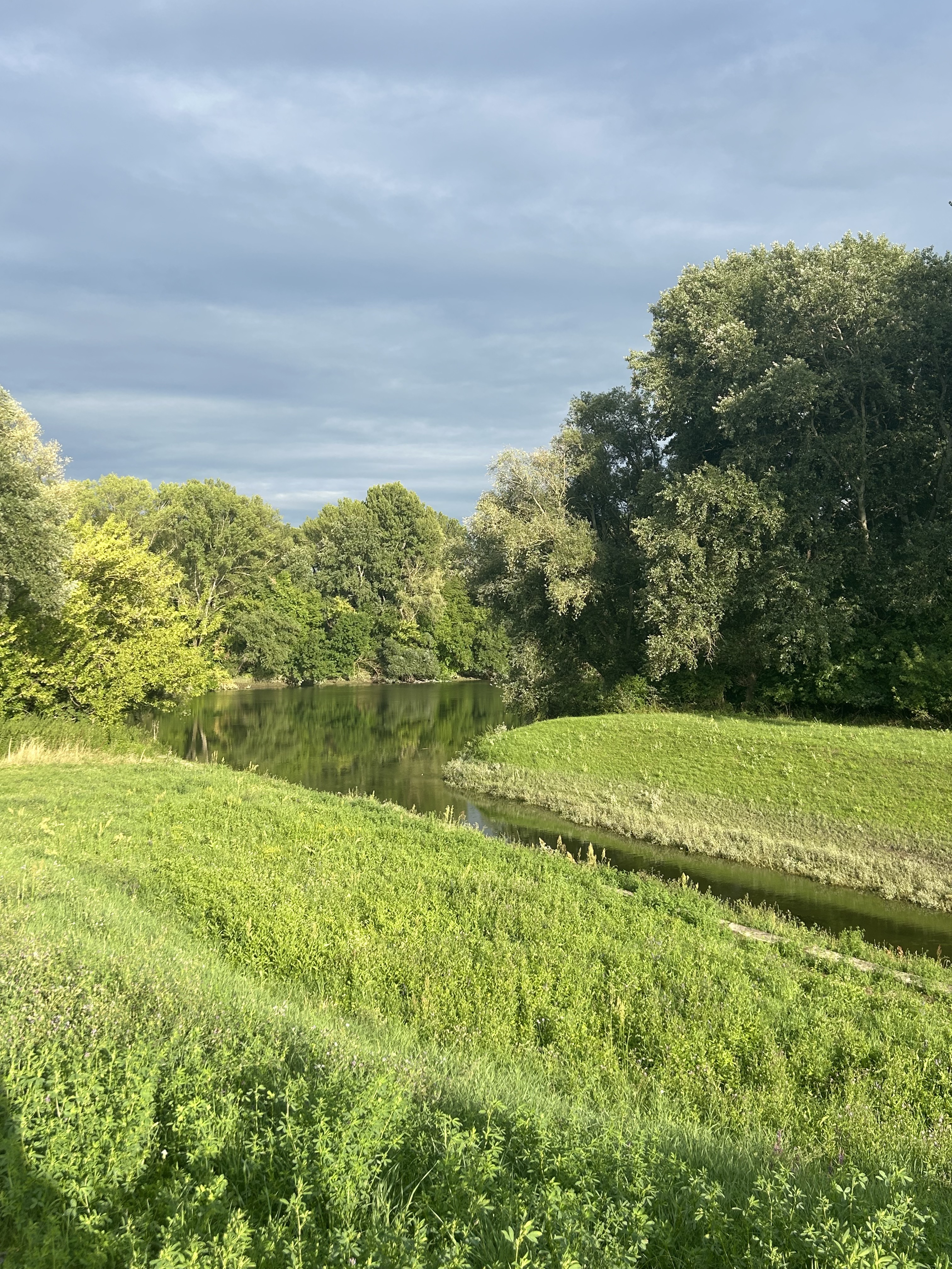
The route is beautiful. The path along the dam is undeveloped, with sand, grass, or gravel. I did not finish the route because about 200 m before joining the asphalt road to Trstice - Topoľníky, I got a flat tire on the chopped gravel. I planned to return through Topoľníky and then along the other side of the dam to Kolárovo. Maybe next time.
- 2 h 41 min
- Duration
- 34.8 km
- Distance
- 17 m
- Ascent
- 20 m
- Descent
- 12.9 km/h
- Avg. speed
- ---
- Max. altitude
Route photos
Route quality
Waytypes & surfaces along the route
Waytypes
Track
18.8 km
(54 %)
Road
7 km
(20 %)
Surfaces
Paved
11.5 km
(33 %)
Unpaved
21.9 km
(63 %)
Gravel
15.6 km
(45 %)
Asphalt
9.7 km
(28 %)
Continue with Bikemap
Use, edit, or download this cycling route
You would like to ride Popri Malom Dunaji or customize it for your own trip? Here is what you can do with this Bikemap route:
Free features
- Save this route as favorite or in collections
- Copy & plan your own version of this route
- Sync your route with Garmin or Wahoo
Premium features
Free trial for 3 days, or one-time payment. More about Bikemap Premium.
- Navigate this route on iOS & Android
- Export a GPX / KML file of this route
- Create your custom printout (try it for free)
- Download this route for offline navigation
Discover more Premium features.
Get Bikemap PremiumFrom our community
Other popular routes starting in Kolárovo
- Kolárovo - Komarno - Zlatná - Kameničná - Kolárovo
- Distance
- 62.5 km
- Ascent
- 88 m
- Descent
- 89 m
- Location
- Kolárovo, Nitra Region, Slovakia
- Kolárovo -Veľký Meder - Trstice - Vlčany - Kolárovo
- Distance
- 89.6 km
- Ascent
- 127 m
- Descent
- 128 m
- Location
- Kolárovo, Nitra Region, Slovakia
- Tip Top Túra 25/45
- Distance
- 23 km
- Ascent
- 13 m
- Descent
- 12 m
- Location
- Kolárovo, Nitra Region, Slovakia
- 14km Brigettio time trial training route
- Distance
- 14 km
- Ascent
- 41 m
- Descent
- 37 m
- Location
- Kolárovo, Nitra Region, Slovakia
- Road72
- Distance
- 72 km
- Ascent
- 9 m
- Descent
- 8 m
- Location
- Kolárovo, Nitra Region, Slovakia
- TIP-TOP Túra MTB_45km
- Distance
- 3.8 km
- Ascent
- 0 m
- Descent
- 3 m
- Location
- Kolárovo, Nitra Region, Slovakia
- Tour de Hungary
- Distance
- 1,352.7 km
- Ascent
- 1,857 m
- Descent
- 1,856 m
- Location
- Kolárovo, Nitra Region, Slovakia
- Neded-Palarikovo-Kolarovo-Neded
- Distance
- 49.2 km
- Ascent
- 27 m
- Descent
- 27 m
- Location
- Kolárovo, Nitra Region, Slovakia
Open it in the app