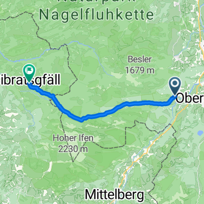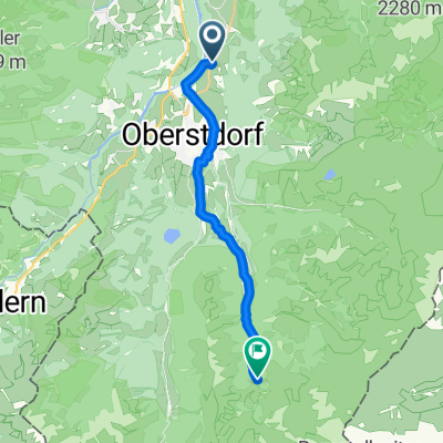
Rubi nach Trettachtal
- 13.6 km
- 386 m
- 73 m
- Oberstdorf, Bavaria, Germany
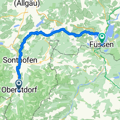
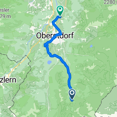
A cycling route starting in Oberstdorf, Bavaria, Germany.
Overview
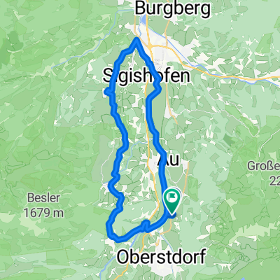
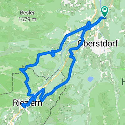
The destination and turning point of the cycling tour 'Rohrmoostal' is the idyllic village of Rohrmoos. From parking lot P1, directly at the entrance to the village, we head north on the bike path along the B 19 through the pedestrian and bike underpass to the Breitach bridge, where we turn left. We then continue on the walking and biking path, directly along the Breitach, into the district of Tiefenbach. Upon reaching Tiefenbach/Weidach, at the intersection we again choose the left road that leads to the impressive Breitach gorge. This unique natural monument is the deepest and also one of the most beautiful rock gorges in Central Europe. Allow yourself to be captivated by the Breitach gorge. A secured, well-walkable and mostly barrier-free hiking path leads you as a visitor through this unique natural experience. After visiting the gorge, the tour continues. Turn right just before the gorge parking lot, another stretch on the flat, and then over the Starzlach bridge. Following this is a gentle ascent of 2.5 km. On the subsequent flat section, you turn right towards Sesselalpe (opportunity for a stop). At the junction towards Rohrmoostal, you will reach another ascent of about 50 meters of elevation gain before descending about 120 meters back down to Rohrmoos. Along the way, you can already recognize the typical characteristics of the Rohrmoos valley. The steep walls of the lower Gottesacker walls, idyllic forests, and the extensive moss areas of the valley. Once down, you reach the turning point Rohrmoos (1,070 m). The hamlet of Rohrmoos has been in the possession of Prince Waldburg-Wolfegg since 1500. Here, the chapel of St. Anna invites you to visit. The chapel was built in the 16th century. It is the oldest wooden chapel in Germany, possibly the oldest in Europe, as only one similar exists in Poland. In Rohrmoos, you also have the opportunity to stop at the mountain inn Rohrmoos. Additionally, you have the opportunity to visit a cheese dairy. Then we return via the little-traveled toll road to Tiefenbach and then along the Breitach back to the starting point, parking lot P1 at the entrance to Oberstdorf.
created this 15 years ago
Route highlights

Die Breitachklamm- Europas tiefste Klamm!
Gasthof Breitachklamm

Alpe Schattwald- Sennereibesichtigung möglich

Berggasthof Rohrmoos- Bergromantik pur

Kapelle St. Anna- die älteste Allgäuer Bergkapelle aus Holz

Tourist- Information Alpenrose

Parken Sie direkt am Ortseingang von Oberstdorf am P1. Hier können Sie einen Tag lang für nur 5 Euro Ihr Auto stehen lassen.
Continue with Bikemap
You would like to ride Oberstdorf-Rohrmoostal or customize it for your own trip? Here is what you can do with this Bikemap route:
Free trial for 3 days, or one-time payment. More about Bikemap Premium.
Discover more Premium features.
Get Bikemap PremiumFrom our community
Open it in the app