

Weiten-Gesäß und Michelstadt
A cycling route starting in Höchst im Odenwald, Hesse, Germany.
Overview
About this route
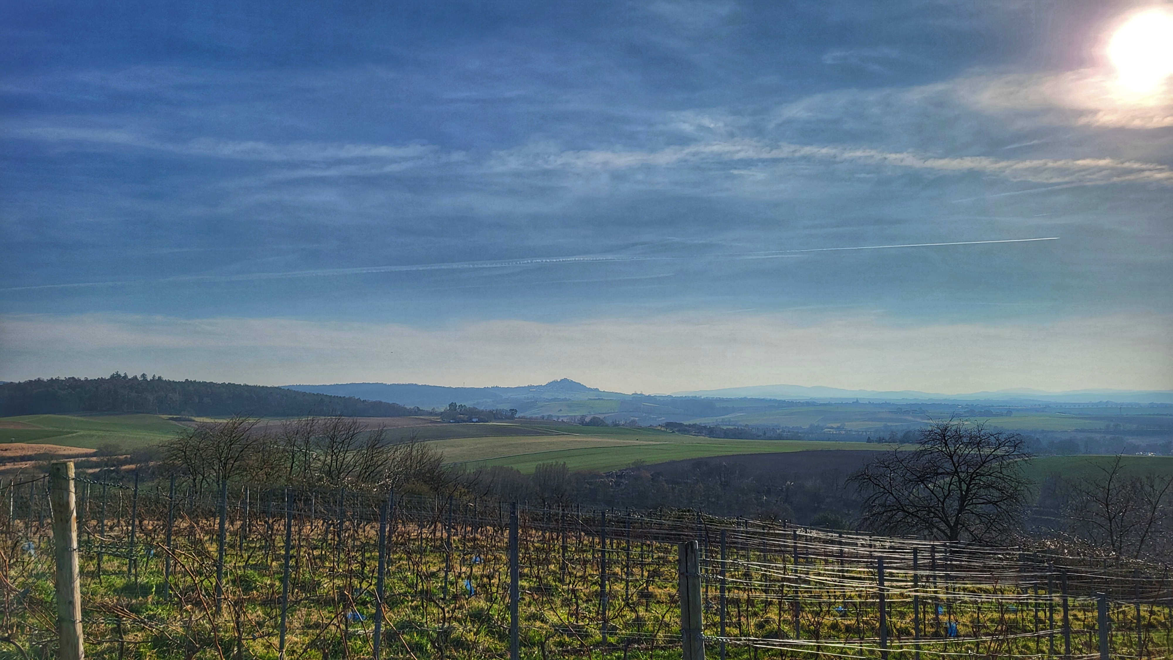
Heute wollten wir mal wieder nach Weiten-Gesäß. Dort waren wir schon lange nicht mehr. An der Kneipp-Anlage haben wir dann sogar noch eine uns bis dahin unbekannte Quelle gefunden. Weiter ging es dann durch den Mühlgrund zum Spindlers Brunnen und weiter vorbei am Waldschwimmbach Michelstadt auf den Mümlingtalradweg und wieder nach Höchst. #noebike
- -:--
- Duration
- 40 km
- Distance
- 472 m
- Ascent
- 471 m
- Descent
- ---
- Avg. speed
- ---
- Max. altitude

Route photos


Route quality
Waytypes & surfaces along the route
Waytypes
Track
17.2 km
(43 %)
Quiet road
13.2 km
(33 %)
Surfaces
Paved
22.8 km
(57 %)
Unpaved
11.2 km
(28 %)
Asphalt
22.4 km
(56 %)
Gravel
8.4 km
(21 %)
Continue with Bikemap
Use, edit, or download this cycling route
You would like to ride Weiten-Gesäß und Michelstadt or customize it for your own trip? Here is what you can do with this Bikemap route:
Free features
- Save this route as favorite or in collections
- Copy & plan your own version of this route
- Sync your route with Garmin or Wahoo
Premium features
Free trial for 3 days, or one-time payment. More about Bikemap Premium.
- Navigate this route on iOS & Android
- Export a GPX / KML file of this route
- Create your custom printout (try it for free)
- Download this route for offline navigation
Discover more Premium features.
Get Bikemap PremiumFrom our community
Other popular routes starting in Höchst im Odenwald
 über die Hohe Straße
- Distance
- 25.3 km
- Ascent
- 377 m
- Descent
- 373 m
- Location
- Höchst im Odenwald, Hesse, Germany
 über den Otzberg nach Groß-Umstadt
- Distance
- 39.7 km
- Ascent
- 562 m
- Descent
- 562 m
- Location
- Höchst im Odenwald, Hesse, Germany
 zum Biergarten nach Umscht
- Distance
- 30.8 km
- Ascent
- 470 m
- Descent
- 465 m
- Location
- Höchst im Odenwald, Hesse, Germany
 zum Obernburger Waldhaus
- Distance
- 35.6 km
- Ascent
- 327 m
- Descent
- 324 m
- Location
- Höchst im Odenwald, Hesse, Germany
 Rimhorn-Lützelbach-Hainstadt Runde
- Distance
- 30.4 km
- Ascent
- 617 m
- Descent
- 620 m
- Location
- Höchst im Odenwald, Hesse, Germany
 Waldhaus Obernburg
- Distance
- 35.4 km
- Ascent
- 334 m
- Descent
- 332 m
- Location
- Höchst im Odenwald, Hesse, Germany
 durch den Mühlgrund
- Distance
- 42.9 km
- Ascent
- 411 m
- Descent
- 408 m
- Location
- Höchst im Odenwald, Hesse, Germany
 Toter Mann - Kimbach - Bad König
- Distance
- 35.6 km
- Ascent
- 608 m
- Descent
- 607 m
- Location
- Höchst im Odenwald, Hesse, Germany
Open it in the app