salita da Marradi al passo carnevale
- 6.6 km
- 583 m
- 217 m
- Marradi, Tuscany, Italy
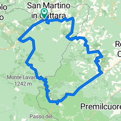
A cycling route starting in Marradi, Tuscany, Italy.
Overview
Mountain bike route to reach the Casentino forests.
From Marradi station, you reach San Benedetto in Alpe on asphalt. Continue always on asphalt until Bocconi. Now we face a tough climb of almost 4 km on dirt road up to Monte Fumarolo. A roughly 3 km stretch of ups and downs, then a steep 3 km descent to the SP del Rabbi, where the dirt road ends. Turn right until you meet via Fiumicello on the left. Now ascend on asphalt for about 7 km until the Passo della Braccina. Continue downhill passing the botanical garden of Valbonella and arrive at Corniolo.
created this 5 years ago
Route quality
Road
12.7 km
(24 %)
Path
5.8 km
(11 %)
Paved
42 km
(79 %)
Unpaved
10.1 km
(19 %)
Asphalt
42 km
(79 %)
Gravel
3.7 km
(7 %)
Continue with Bikemap
You would like to ride Marradi-San Benedetto in Alpe-Corniolo or customize it for your own trip? Here is what you can do with this Bikemap route:
Free trial for 3 days, or one-time payment. More about Bikemap Premium.
Discover more Premium features.
Get Bikemap PremiumFrom our community
Open it in the app