

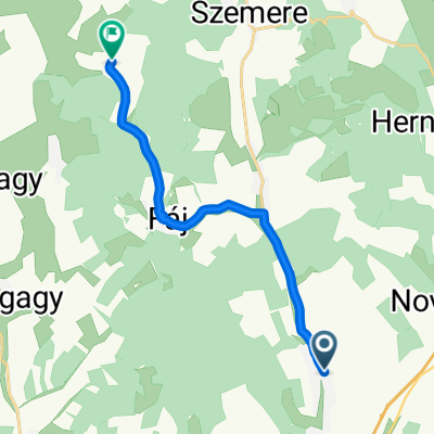
Encs-Gönc-Kéked-SK-Eszkáros-Telkibánya-Sátoraljaújhely-Encs
A cycling route starting in Encs, Borsod-Abauj Zemplen county, Hungary.
Overview
About this route
Sárospatak-Tolcsva-Regéc-Mogyoróska-Fony
- -:--
- Duration
- 150.4 km
- Distance
- 764 m
- Ascent
- 761 m
- Descent
- ---
- Avg. speed
- ---
- Max. altitude

Route quality
Waytypes & surfaces along the route
Waytypes
Quiet road
22.6 km
(15 %)
Cycleway
21.1 km
(14 %)
Surfaces
Paved
91.8 km
(61 %)
Unpaved
1.5 km
(1 %)
Asphalt
87.3 km
(58 %)
Paved (undefined)
4.5 km
(3 %)
Continue with Bikemap
Use, edit, or download this cycling route
You would like to ride Encs-Gönc-Kéked-SK-Eszkáros-Telkibánya-Sátoraljaújhely-Encs or customize it for your own trip? Here is what you can do with this Bikemap route:
Free features
- Save this route as favorite or in collections
- Copy & plan your own version of this route
- Split it into stages to create a multi-day tour
- Sync your route with Garmin or Wahoo
Premium features
Free trial for 3 days, or one-time payment. More about Bikemap Premium.
- Navigate this route on iOS & Android
- Export a GPX / KML file of this route
- Create your custom printout (try it for free)
- Download this route for offline navigation
Discover more Premium features.
Get Bikemap PremiumFrom our community
Other popular routes starting in Encs
 Encs-Gönc-Telkibánya-Sátoraljaújhely-Regéc-Encs
- Distance
- 134.6 km
- Ascent
- 673 m
- Descent
- 670 m
- Location
- Encs, Borsod-Abauj Zemplen county, Hungary
 Szalaszend-Encs-Regéc-Tolcsva-Encs-Szalaszend
- Distance
- 90.2 km
- Ascent
- 891 m
- Descent
- 910 m
- Location
- Encs, Borsod-Abauj Zemplen county, Hungary
 Szalaszend - Litka
- Distance
- 11 km
- Ascent
- 126 m
- Descent
- 37 m
- Location
- Encs, Borsod-Abauj Zemplen county, Hungary
 Tour de Mogyoróska 2014
- Distance
- 74.6 km
- Ascent
- 545 m
- Descent
- 546 m
- Location
- Encs, Borsod-Abauj Zemplen county, Hungary
 Encs-Gönc-Kéked-SK-Eszkáros-Telkibánya-Sátoraljaújhely-Encs
- Distance
- 150.4 km
- Ascent
- 764 m
- Descent
- 761 m
- Location
- Encs, Borsod-Abauj Zemplen county, Hungary
 OKKT 2 - Hernád-völgy
- Distance
- 71.1 km
- Ascent
- 857 m
- Descent
- 854 m
- Location
- Encs, Borsod-Abauj Zemplen county, Hungary
 OKT Csereháti Kék 3
- Distance
- 17.9 km
- Ascent
- 228 m
- Descent
- 204 m
- Location
- Encs, Borsod-Abauj Zemplen county, Hungary
 OKKT 2 - Kelet-Cserehát
- Distance
- 55.6 km
- Ascent
- 503 m
- Descent
- 504 m
- Location
- Encs, Borsod-Abauj Zemplen county, Hungary
Open it in the app