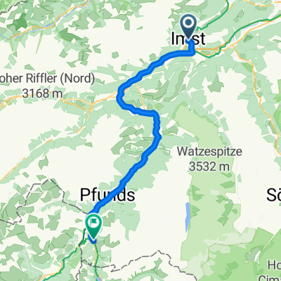
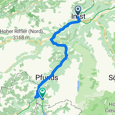
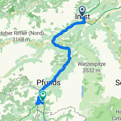
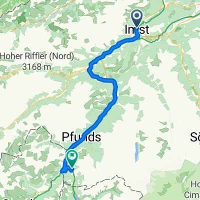
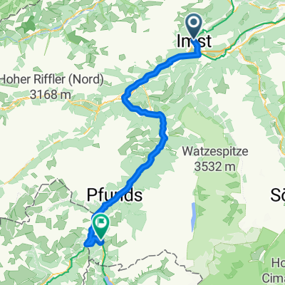
2010 imst - weer 7.07.10
A cycling route starting in Imst, Tyrol, Austria.
Overview
About this route
Z Imst przez Innsbruck do Watten
- -:--
- Duration
- 89.2 km
- Distance
- 128 m
- Ascent
- 313 m
- Descent
- ---
- Avg. speed
- ---
- Avg. speed
Route quality
Waytypes & surfaces along the route
Waytypes
Quiet road
29.8 km
(33 %)
Track
21.7 km
(24 %)
Surfaces
Paved
77.4 km
(87 %)
Unpaved
4 km
(4 %)
Asphalt
74.6 km
(84 %)
Loose gravel
2.8 km
(3 %)
Route highlights
Points of interest along the route
Point of interest after 8.5 km
Point of interest after 12.2 km
Point of interest after 23.7 km
Point of interest after 36.7 km
Point of interest after 62.8 km
Point of interest after 75 km
Point of interest after 84.8 km
Continue with Bikemap
Use, edit, or download this cycling route
You would like to ride 2010 imst - weer 7.07.10 or customize it for your own trip? Here is what you can do with this Bikemap route:
Free features
- Save this route as favorite or in collections
- Copy & plan your own version of this route
- Sync your route with Garmin or Wahoo
Premium features
Free trial for 3 days, or one-time payment. More about Bikemap Premium.
- Navigate this route on iOS & Android
- Export a GPX / KML file of this route
- Create your custom printout (try it for free)
- Download this route for offline navigation
Discover more Premium features.
Get Bikemap PremiumFrom our community
Other popular routes starting in Imst
- Fabrikstraße 34, Gemeinde Imst do Kronburg 105, Zammerberg
- Distance
- 13.7 km
- Ascent
- 321 m
- Descent
- 110 m
- Location
- Imst, Tyrol, Austria
- Kühtai
- Distance
- 101.2 km
- Ascent
- 1,672 m
- Descent
- 1,672 m
- Location
- Imst, Tyrol, Austria
- Via Claudia Augusta 4. Imst - Cusio
- Distance
- 89.2 km
- Ascent
- 2,037 m
- Descent
- 1,916 m
- Location
- Imst, Tyrol, Austria
- Etappe 2 | Imst bis Nauders
- Distance
- 73 km
- Ascent
- 2,187 m
- Descent
- 1,643 m
- Location
- Imst, Tyrol, Austria
- Jeantex Tour Transalp 2007 2. Etappe
- Distance
- 148 km
- Ascent
- 2,499 m
- Descent
- 1,928 m
- Location
- Imst, Tyrol, Austria
- Via Claudia Tag 2
- Distance
- 72.7 km
- Ascent
- 933 m
- Descent
- 408 m
- Location
- Imst, Tyrol, Austria
- Ischgl/Hahntennjoch/Nassenreith/Landeck/Ischgl
- Distance
- 101 km
- Ascent
- 2,068 m
- Descent
- 2,072 m
- Location
- Imst, Tyrol, Austria
- Route nach Pfunds
- Distance
- 54.5 km
- Ascent
- 1,247 m
- Descent
- 1,095 m
- Location
- Imst, Tyrol, Austria
Open it in the app