LOIRET Nord - 104 kms - neuville-crottes en pithiverais-chatillon le roi-escrenne-attray-neuville
- 104.1 km
- 348 m
- 347 m
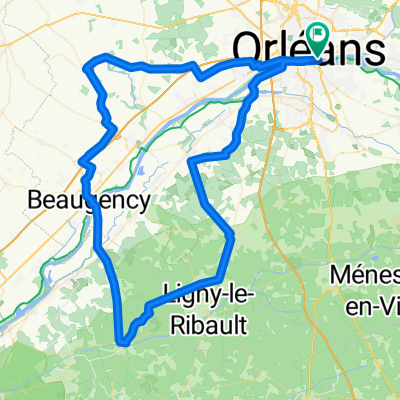
- Saint-Jean-le-Blanc, Centre-Val de Loire, France
A cycling route starting in Saint-Jean-le-Blanc, Centre-Val de Loire, France.
Overview
SUD ORLEANS --Elevation: 50m--92kms---loire uprising - Sandillon--Férolle road - Vienne - (break at the sawmill) - Sennely - Souvigny in Sologne - Vouzon - Menestreau - towards La Ferté - return via ZA La Saussaye- cycle path - Orléans
created this 14 years ago
Route quality
Quiet road
27.7 km
(30 %)
Road
22.1 km
(24 %)
Paved
53.5 km
(58 %)
Unpaved
1.8 km
(2 %)
Asphalt
51.6 km
(56 %)
Paved (undefined)
1.8 km
(2 %)
Route highlights
pause technique et division du groupe km 38- juste avant la scierie
Continue with Bikemap
You would like to ride LOIRET - SUD - 92 kms or customize it for your own trip? Here is what you can do with this Bikemap route:
Free trial for 3 days, or one-time payment. More about Bikemap Premium.
Discover more Premium features.
Get Bikemap PremiumFrom our community
Open it in the app