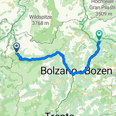
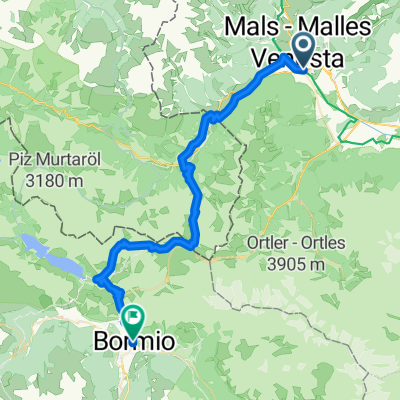
Glurns nach Melag (Südtirol)
A cycling route starting in Glurns, Trentino-Alto Adige, Italy.
Overview
About this route
- -:--
- Duration
- 28.7 km
- Distance
- 952 m
- Ascent
- 47 m
- Descent
- ---
- Avg. speed
- 1,821 m
- Avg. speed
Route quality
Waytypes & surfaces along the route
Waytypes
Busy road
12.4 km
(43 %)
Road
10.3 km
(36 %)
Surfaces
Paved
27.2 km
(95 %)
Unpaved
0 km
(<1 %)
Asphalt
27.1 km
(95 %)
Gravel
0 km
(<1 %)
Continue with Bikemap
Use, edit, or download this cycling route
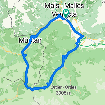
You would like to ride Glurns nach Melag (Südtirol) or customize it for your own trip? Here is what you can do with this Bikemap route:
Free features
- Save this route as favorite or in collections
- Copy & plan your own version of this route
- Sync your route with Garmin or Wahoo
Premium features
Free trial for 3 days, or one-time payment. More about Bikemap Premium.
- Navigate this route on iOS & Android
- Export a GPX / KML file of this route
- Create your custom printout (try it for free)
- Download this route for offline navigation
Discover more Premium features.
Get Bikemap PremiumFrom our community
Other popular routes starting in Glurns
- Wiesenweg nach Glurns
- Distance
- 12.5 km
- Ascent
- 1,244 m
- Descent
- 172 m
- Location
- Glurns, Trentino-Alto Adige, Italy
- 🚴♀️E*Bike🇮🇩 MALS-GLURNS- MERAN
- Distance
- 61 km
- Ascent
- 62 m
- Descent
- 682 m
- Location
- Glurns, Trentino-Alto Adige, Italy
- Dol Stilfser Joch
- Distance
- 62 km
- Ascent
- 1,836 m
- Descent
- 1,836 m
- Location
- Glurns, Trentino-Alto Adige, Italy
- Preko tri drzave s autom
- Distance
- 133.4 km
- Ascent
- 1,813 m
- Descent
- 1,808 m
- Location
- Glurns, Trentino-Alto Adige, Italy
- Stilfserjoch
- Distance
- 65 km
- Ascent
- 1,856 m
- Descent
- 1,856 m
- Location
- Glurns, Trentino-Alto Adige, Italy
- Glurns nach Melag (Südtirol)
- Distance
- 28.7 km
- Ascent
- 952 m
- Descent
- 47 m
- Location
- Glurns, Trentino-Alto Adige, Italy
- Stelvio - Gavia
- Distance
- 96.1 km
- Ascent
- 3,200 m
- Descent
- 2,862 m
- Location
- Glurns, Trentino-Alto Adige, Italy
- GDS - BDS: 05 Glurns - Nauders (15 Schlinigpass, Uina-Schlucht xxxxx)
- Distance
- 56.3 km
- Ascent
- 1,829 m
- Descent
- 1,386 m
- Location
- Glurns, Trentino-Alto Adige, Italy
Open it in the app