

Vráble - Nemčiňany Štrkovičky (MTB, REKREA)
A cycling route starting in Vráble, Nitra Region, Slovakia.
Overview
About this route
- -:--
- Duration
- 31.8 km
- Distance
- 241 m
- Ascent
- 240 m
- Descent
- ---
- Avg. speed
- 242 m
- Max. altitude
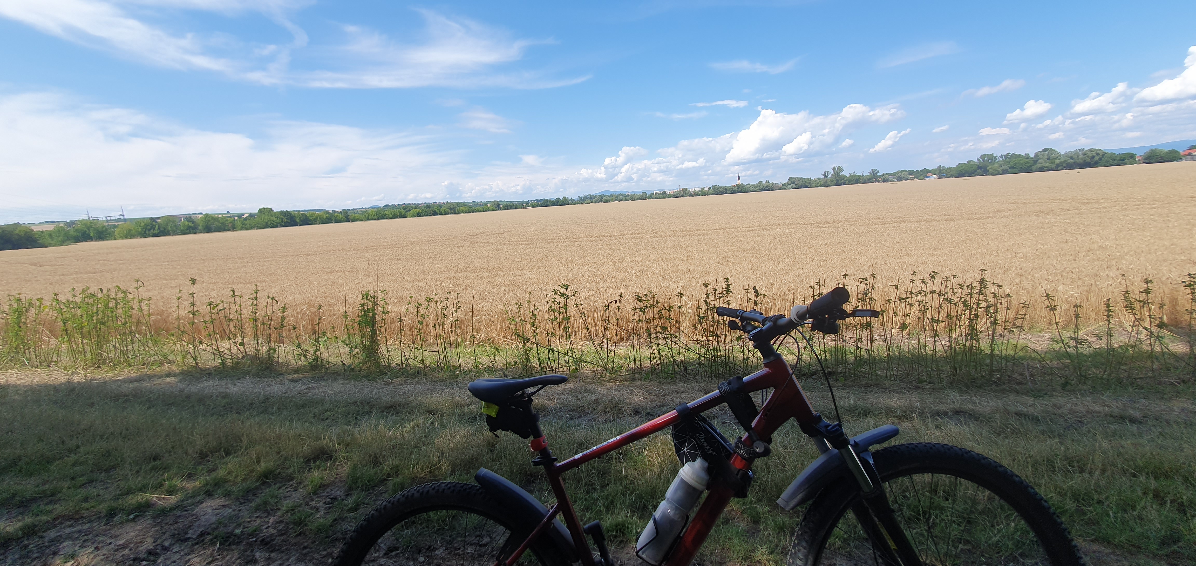
Route photos
\"")
\"")
Route quality
Waytypes & surfaces along the route
Waytypes
Quiet road
18.4 km
(58 %)
Road
9.8 km
(31 %)
Surfaces
Paved
6 km
(19 %)
Unpaved
3.8 km
(12 %)
Asphalt
6 km
(19 %)
Gravel
2.5 km
(8 %)
Continue with Bikemap
Use, edit, or download this cycling route
You would like to ride Vráble - Nemčiňany Štrkovičky (MTB, REKREA) or customize it for your own trip? Here is what you can do with this Bikemap route:
Free features
- Save this route as favorite or in collections
- Copy & plan your own version of this route
- Sync your route with Garmin or Wahoo
Premium features
Free trial for 3 days, or one-time payment. More about Bikemap Premium.
- Navigate this route on iOS & Android
- Export a GPX / KML file of this route
- Create your custom printout (try it for free)
- Download this route for offline navigation
Discover more Premium features.
Get Bikemap PremiumFrom our community
Other popular routes starting in Vráble
 Vráble-H.Ohaj- N.Ves n.Žit.- Tes.Mlyňany
- Distance
- 12 km
- Ascent
- 31 m
- Descent
- 8 m
- Location
- Vráble, Nitra Region, Slovakia
 Vráble - Paňa - Janíkovce - Nitra
- Distance
- 24.7 km
- Ascent
- 226 m
- Descent
- 227 m
- Location
- Vráble, Nitra Region, Slovakia
 Sídl. Lúky 29 - Železničná 9, Podhájska
- Distance
- 36.3 km
- Ascent
- 188 m
- Descent
- 192 m
- Location
- Vráble, Nitra Region, Slovakia
 Lúčna do Sídlisko Lúky
- Distance
- 9 km
- Ascent
- 21 m
- Descent
- 12 m
- Location
- Vráble, Nitra Region, Slovakia
 Vráble - Paňa - Veľký Cetín / rybníky
- Distance
- 13.4 km
- Ascent
- 82 m
- Descent
- 95 m
- Location
- Vráble, Nitra Region, Slovakia
 Vráble - Nemčiňany Štrkovičky (MTB, REKREA)
- Distance
- 31.8 km
- Ascent
- 241 m
- Descent
- 240 m
- Location
- Vráble, Nitra Region, Slovakia
 3. deň - Trávnica - Mojzesovo - Komjatice - Mojmírovce - Močenok - Šaľa
- Distance
- 62.5 km
- Ascent
- 160 m
- Descent
- 202 m
- Location
- Vráble, Nitra Region, Slovakia
 Sídlisko Lúky do Sídlisko Lúky
- Distance
- 19.5 km
- Ascent
- 185 m
- Descent
- 186 m
- Location
- Vráble, Nitra Region, Slovakia
Open it in the app