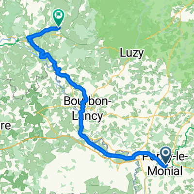
04 Loire Paray a Nevers 150 km
- 151 km
- 236 m
- 314 m
- Paray-le-Monial, Bourgogne-Franche-Comté, France
A cycling route starting in Paray-le-Monial, Bourgogne-Franche-Comté, France.
Overview
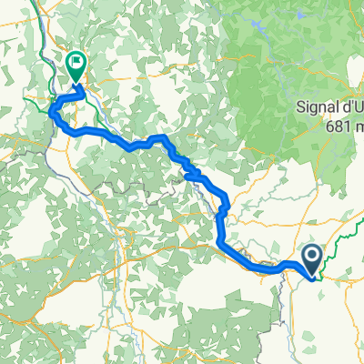
paray le monial towards Montceau les mines
created this 4 years ago
Route quality
Quiet road
29.1 km
(61 %)
Road
11 km
(23 %)
Paved
8.1 km
(17 %)
Asphalt
8.1 km
(17 %)
Undefined
39.7 km
(83 %)
Continue with Bikemap
You would like to ride Etape 6: bourgogne bis or customize it for your own trip? Here is what you can do with this Bikemap route:
Free trial for 3 days, or one-time payment. More about Bikemap Premium.
Discover more Premium features.
Get Bikemap PremiumFrom our community
Open it in the app