

18 Markvartice - Hana - Zámecký vrch
A cycling route starting in Česká Kamenice, Ústecký kraj, Czechia.
Overview
About this route
0
More cycling routes in the region can be found at http://markvartice-unas.cz
- 1:38 h
- Duration
- 21.8 km
- Distance
- 659 m
- Ascent
- 656 m
- Descent
- 13.3 km/h
- Avg. speed
- 509 m
- Max. altitude
Markvart
created this 15 years ago
Route quality
Waytypes & surfaces along the route
Waytypes
Track
8.9 km
41 %
Quiet road
4.1 km
19 %
Surfaces
Paved
7 km
(32 %)
Unpaved
6.3 km
(29 %)
Asphalt
6.3 km
29 %
Ground
5.7 km
26 %
Continue with Bikemap
Use, edit, or download this cycling route
You would like to ride 18 Markvartice - Hana - Zámecký vrch or customize it for your own trip? Here is what you can do with this Bikemap route:
Free features
- Save this route as favorite or in collections
- Copy & plan your own version of this route
- Sync your route with Garmin or Wahoo
Premium features
Free trial for 3 days, or one-time payment. More about Bikemap Premium.
- Navigate this route on iOS & Android
- Export a GPX / KML file of this route
- Create your custom printout (try it for free)
- Download this route for offline navigation
Discover more Premium features.
Get Bikemap PremiumFrom our community
Other popular routes starting in Česká Kamenice
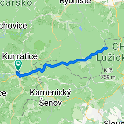
- Route to Keynestprohliser Allee 10, 01239 Dresden, Germany0
- 63.4 km
- 755 m
- 907 m
- Česká Kamenice, Ústecký kraj, Czechia
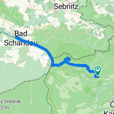
- Vysoká Lípa - Pravčická brána - Bad Schandau - Vysoká Lípa0
- 49.1 km
- 539 m
- 540 m
- Česká Kamenice, Ústecký kraj, Czechia
- Schmilka - Schona - Tisá (Tiské stěny) - Děčín - Labská Stráň - Vysoká Lípa0
- 103.6 km
- 1,227 m
- 1,225 m
- Česká Kamenice, Ústecký kraj, Czechia


Open it in the app