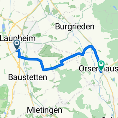
Saturday ride to Ulm along Iller and Donau
- 72.9 km
- 412 m
- 412 m
- Laupheim, Baden-Wurttemberg, Germany
A cycling route starting in Laupheim, Baden-Wurttemberg, Germany.
Overview
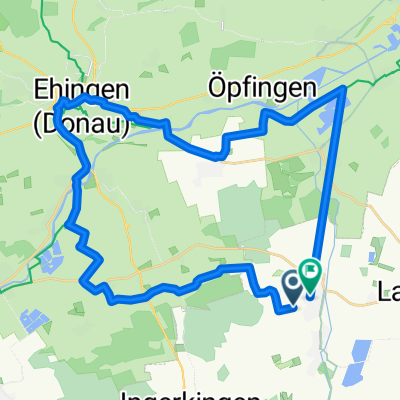
Die Runde führt von Laupheim über Untermarchtal durch das gr.Lautertal nach Zwiefalten. Danach durchs Tobel- und Geisinger Tal zur Wimsener Höhle. Von dort durchs Glastal nach Münzdorf und Burg Derneck. Ab hier quer durch das Lautertal Richtung Granheim. Davor rechts durch den Wald und Abfahrt durch das Wolfstal. Weiter zum Schloß Mochental, Kirchen, Schlechtenfeld, Stetten, Berg, Rißtissen nach Laupheim zum verdienten Hefeweizen.
Einkehrmöglichkeiten z. Bspl. in Zwiefalten, Wimsener Höhle, Burg Derneck oder Schloß Mochental.
created this 14 years ago
Route quality
Track
63.6 km
(55 %)
Quiet road
19.7 km
(17 %)
Paved
60.1 km
(52 %)
Unpaved
39.3 km
(34 %)
Asphalt
56.6 km
(49 %)
Gravel
20.8 km
(18 %)
Continue with Bikemap
You would like to ride mtb - Runde Laupheim - Wimsener Höhle - Wolfstal -Laupheim or customize it for your own trip? Here is what you can do with this Bikemap route:
Free trial for 3 days, or one-time payment. More about Bikemap Premium.
Discover more Premium features.
Get Bikemap PremiumFrom our community
Open it in the app